• We have updated our Community Code of Conduct. Please read through the new rules for the forum that are an integral part of Paradox Interactive’s User Agreement.

CK2 Dev Diary #79 - Beautifying the Baltics

Greetings!

Work is progressing splendidly on the upcoming expansion, alas it is still much too early to start talking about any of its many features. Instead, we’ll continue our tour of the cartographer's office.

As I mentioned in the last Dev Diary we’re working our way through some of the more neglected areas of the map - primarily (but not exclusively) focusing our efforts on areas that weren’t that interesting to play in. This time around we’re teasing the upcoming changes to the Baltics, primarily based on tribes that populated the region before the Northern Crusades, again courtesy of [Arthur-PDX]. This time I thought of providing you with a side-by-side comparison, so you can see the changes for yourselves, without having to boot up the game:
Baltics Update.png


Code:
- Map Update to the Baltics
       - Major overhaul to the Baltic region (mostly encompassing the Kingdom of Lithuania's DeJure territory)
      - (Major) river Daugava moved and reshaped a bit for more accuracy
       - Minor river crossings in Lithuania reshaped for more accuracy
      - 7 provinces added to enhance pre-Livonian Order flavour
       - New duchy of Latgale added
      - All old provinces in the DeJure Lithuanian Kingdom's territory have been reshaped for more historical & cultural accuracy
      - New kingdom of Estonia, formable by holding the duchies of Estonia and the new duchy of Kalava

Please note that the time between Dev Diaries will be irregular, as we’re very early in the development cycle.
 
Greetings!

Work is progressing splendidly on the upcoming expansion, alas it is still much too early to start talking about any of its many features. Instead, we’ll continue our tour of the cartographer's office.

As I mentioned in the last Dev Diary we’re working our way through some of the more neglected areas of the map - primarily (but not exclusively) focusing our efforts on areas that weren’t that interesting to play in. This time around we’re teasing the upcoming changes to the Baltics, primarily based on tribes that populated the region before the Northern Crusades, again courtesy of [Arthur-PDX]. This time I thought of providing you with a side-by-side comparison, so you can see the changes for yourselves, without having to boot up the game:
View attachment 336622

Code:
- Map Update to the Baltics
       - Major overhaul to the Baltic region (mostly encompassing the Kingdom of Lithuania's DeJure territory)
      - (Major) river Daugava moved and reshaped a bit for more accuracy
       - Minor river crossings in Lithuania reshaped for more accuracy
      - 7 provinces added to enhance pre-Livonian Order flavour
       - New duchy of Latgale added
      - All old provinces in the DeJure Lithuanian Kingdom's territory have been reshaped for more historical & cultural accuracy
      - New kingdom of Estonia, formable by holding the duchies of Estonia and the new duchy of Kalava

Please note that the time between Dev Diaries will be irregular, as we’re very early in the development cycle.
I am extremely late to the party, and I have no clue if this has been said before, but here are some things I need to say on this map rework:

- The province you call "Deltuva" is not where Deltuva was (it was more to the east, where the province "Nalšia" is). The name for that province should be Upytė.
- Why does Nemunas (the river) only go up to Kaunas, and then is suddenly replaced by its inflow Neris afterwards? The southern flow of the river Nemunas was very important to the defense of medieval Lithuania, serving as a natural barrier between Teutonic Prussia and the nucleus of Lithuania around Vilnius. One of the most famous episodes of Lithuanian resistance against Teutonic invasions (Pilėnai) took place exactly there.
- As others have said, the border between Sudovia and prussian lands needs to be fixed for the possibility of OTL borders.
- Why is Klaipėda ("Memel") STILL an exclave of Curonia? Either you should give Memel to Samogitia or you should detach the northwestern parts of the Samogitia province and give it to Kurzeme. Why do you have this fascination for giving a sea border and a port to Samogitia?! Lithuania never had a port or even considered building one in that tiny strip of land - because it, much like the rest of the border between Lithuania and the Teutonic Knights, was a practically uninhabited no man's land constantly raided by both sides during the hundred years' war that the 14th century was.

Outside of all this, the map looks great, and Livonians now finally exist! I'm pretty hyped, this is the first time my home region has had this much focus in a long while.
 
The province you call "Deltuva" is not where Deltuva was

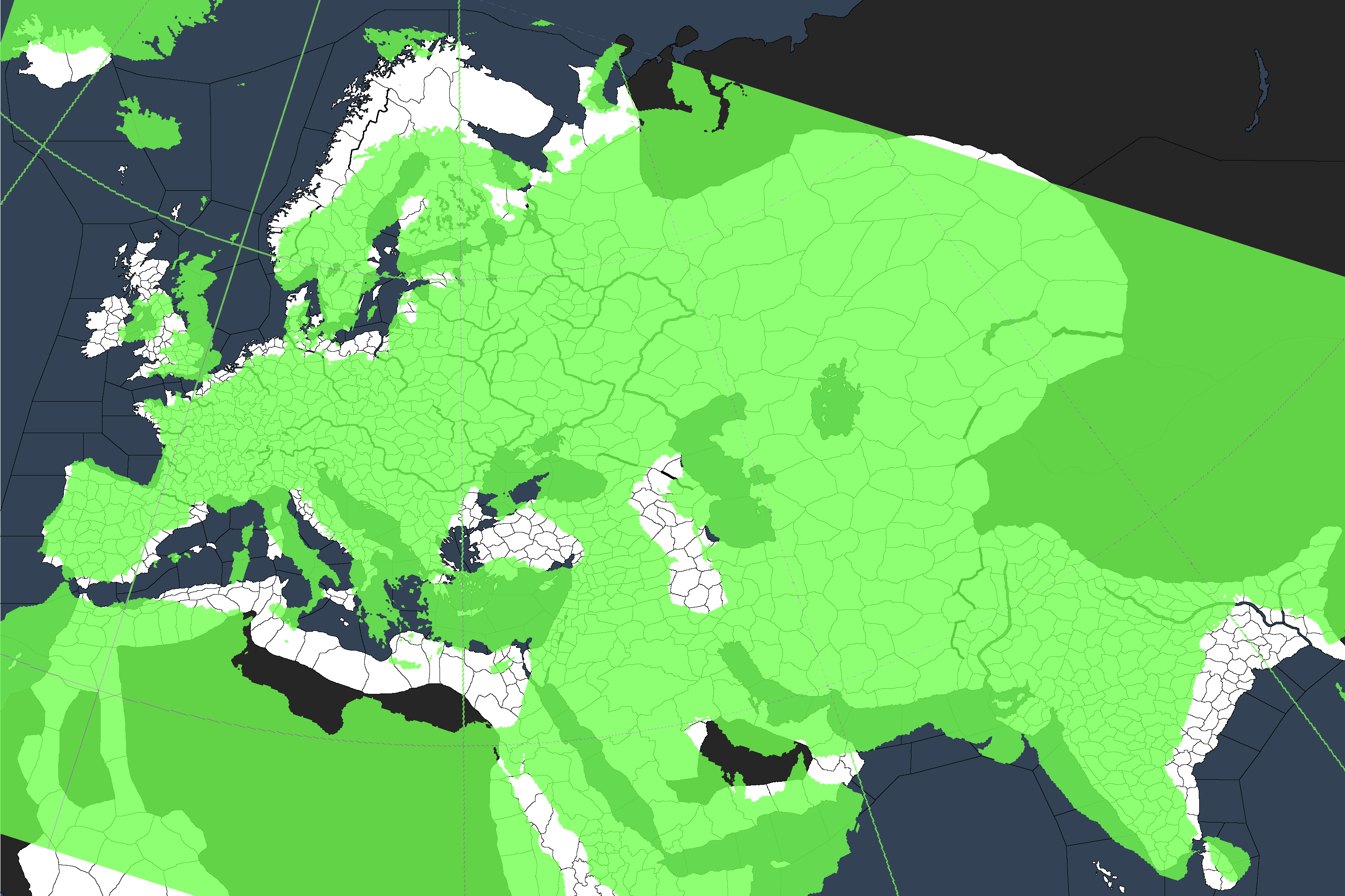
Map projection is a bit "odd" with CK2, thus why it seems that some places are misplaced or weirdly shaped (Finland looking enormous for example), but according to the maps I've used combined with the projection that, admittedly, requires some time to get used to (and that's the key thing to remember), the placement is still pretty much correct

Why does Nemunas (the river) only go up to Kaunas

I mindgamed myself, that's why. I originally misread and confused the Neris for the rest of the Nemunas, but it's been noticed and I just didn't get around to fixing it yet (but it's planned)

the border between Sudovia and prussian lands needs to be fixed for the possibility of OTL borders.

A few people have complained about it but every map I've used for my research went toward something akin to what is the current situation, with Sudovia pushing as it does now, so it's gonna stay that way

Why is Klaipėda ("Memel") STILL an exclave of Curonia?

I think I mentioned it somewhere in the thread, but basically the DeJure/historical setup was still a bit WiP in some places when we posted the Dev Diary, with Skalvia being one of these WiP places. But no, it's going to be independent from Curonia when we release


Arthur
 
Map projection is a bit "odd" with CK2, thus why it seems that some places are misplaced or weirdly shaped (Finland looking enormous for example), but according to the maps I've used combined with the projection that, admittedly, requires some time to get used to (and that's the key thing to remember), the placement is still pretty much correct

I'm not sure how to best phrase this, but what is the projection used in CK2?
 
I'm not sure how to best phrase this, but what is the projection used in CK2?

Pretty much a fantasy one. Europe is larger than it would realistically be compared to Asia and Africa for exemple. The map is done so that it would make sense gameplay wise. That's the reason for Asias bend toward north.
 
Pretty much a fantasy one. Europe is larger than it would realistically be compared to Asia and Africa for exemple. The map is done so that it would make sense gameplay wise. That's the reason for Asias bend toward north.
Actually, I don't think Europe is oversized compared to the rest of the map (maybe Scandinavia is), just rotated oddly. Arabia is undersized though.
I'm not sure how to best phrase this, but what is the projection used in CK2?
Closest fit I could find is Albers Equal Area Conic:
Naamloos.png
 
There are others who may be carrying on the torch. :D
hopefully. Do you have any info about anybody taking care of your mod?
Currently it seems like there aren't many map mods
 
@loup99 used to be taking care of it, but I don’t think they have been active on it lately.
The pure maintenance updates are easy to do, and I think it might actually be compatible technically, although adding new provinces is naturally more difficult.
 
First of all, hooray for this update! Too bad I decided to look in here so late.

I would strongly suggest reconsidering some of these names though. I am not qualified to comment on most of the Latvian and Lithuanian names, but the ones in southern Estonia would either only be appropriate if one goes for a start date in the mid-13th century or later or indeed are just flat out a case of mistaken identity.
  • Tartu should be Ugandi. At least in the past, this name was available when one renamed a county, although inexplicably used as the surname of the chiefs of Latgale.
  • Liivimaa should really be Sakala, but since that name is already used by a province in India, calling it Leola, Lehola or Nurmekund would also be more logical. That land was considered ethnically Estonian (insofar as Estonian was a singular culture at this time, which it really wasn't) rather than Livonian. Leola/Lehola (depending on who is transcribing the name) was an important sub-region of Sakala, while Nurmekund was just adjacent and might be partially covered by the province as it stands now.
  • Rather, the province currently named Riga should be Liivimaa, or possibly Metsepole. It does after all correspond fairly well to the probable borders of the ancient 'counties' of Metsepole and Turaida, which were where Livonians lived.

Greetings!

View attachment 336622

Code:
- Map Update to the Baltics
       - Major overhaul to the Baltic region (mostly encompassing the Kingdom of Lithuania's DeJure territory)
      - (Major) river Daugava moved and reshaped a bit for more accuracy
       - Minor river crossings in Lithuania reshaped for more accuracy
      - 7 provinces added to enhance pre-Livonian Order flavour
       - New duchy of Latgale added
      - All old provinces in the DeJure Lithuanian Kingdom's territory have been reshaped for more historical & cultural accuracy
      - New kingdom of Estonia, formable by holding the duchies of Estonia and the new duchy of Kalava
 
I have a BA in history and I focused on Northern-Europe so I have to make a few comments about the names of the counties.

Finland has counties which use Finnish names, it makes a lot of sense. The same should be done for the "kingdom of Estonia" which will be added into the game.

1. Kalevan is a form of the old Russian name for the modern-day Tallinn area. It looks like this in Russian: колыван (Kolövan) and it was first used in some 13th century chronicles from Russia. Ancient Estonians called the area "Rävala" and the German "Reval" directly comes from the Estonian name for the area. So Rävala would be the best and most historically correct name instead of Kalevan.

2. To continue with the logic of using the local language names for counties in Finland and Estonia, "Narva" should be changed to "Virumaa".

3. "Tartu" should be "Ugandi".

4. "Järva" should be "Järvamaa" but "Järva" is also okay if cosmetically 8 letters wouldn't fit onto the small county

5. "Liivimaa" should definitely not be called with that name. The real name of the county was "Sakala" and there were no Livonians there. There is already a county named "Sakala" in the game so other options would maybe be the Latin names (Saccala, Sackala,Saccele, Saccale) of the county which are quite similar to the ancient Estonian name. Or just "Sacala" would also be quite good.

6. "Riga" should be "Metsepole" or something like that. It was an ancient Livonian county: https://en.wikipedia.org/wiki/Metsepole The name in the Livonian language is "Mõtsa Pūol" and in Estonian it is "Metsapoole". "Metsepole" is the name used in the Livonian Chronicle of Henry and it is also the Latvian name for the county.

7. "Tukums" is a rather bad name as it also comes from the name of a fort. Historically that "Tukums" area was in the ancient county of "Vanema". As It cannot be called "Vanema" (there is a new county with that name) and roughly it represents northern-Curonia then possibly it could just be named "Kuramaa" (Estonian name for Courland) or "Kurāmō" (Livonian). Right now I don't really have any good ideas for "Tukums" as it was under "Vanema".

Overall my suggestions precisely follow the same logic that was used by you Paradox guys naming "Talava". As "Talava" was an ancient Latgalian county.

Also, one thing that I noticed. It seems that Livonian areas are underrepresented on the map. I assume that you took a 13th century map of the ethnic boundaries and applied it to the 8th century and 9th century start dates, although the difference is ~500 years.

Before the Migration period, most of modern-day Latvia was Finnic and then the Baltic tribes started pushing north. If we're talking about the 7th and 8th century start dates then the "Vanema" county should be Livonian (or Estonian if no Livonian culture is created) or some other solution could be used. The ancient county of "Vanema" comes from the Livonian language and the translation would be "Old land". Overall, the Curonian peninsula was a really confusing area. There were Livonian areas, Curonian(Baltic) areas and also a lot of mixed areas. Quite hard to draw borders on a map 1200 years later. I'm just assuming that you will not change the province borders and sizes anymore thus here comes my idea: Maybe Vanema county should have Estonian/Livonian culture and Suomenusko religion, but the county ruler would be Lettigallian and Romuva. It would represent the mixed area quite well by using the solutions that the game offers right now. I think the same solution is used for Pskov. The northern and central part of "Vanema" county was definitely Livonian in the early start dates and overall the Curonia area was mainly Livonian in the 7th century and 8th century start dates with northern-, central- and eastern-Courland being Livonian while the south and southwest were Baltic. The main big assimilation of Livonians in the Curonia area took place from the 12th century to the 14th century.

If you need any real sources of published papers and books on the topic of names and other things then you can ask me.
 
I'd like to understand the, in my opinion faulty, logic behind re-introducing a bug/oversight from the pre-2016 CK II into the game? The Finnic/Suomenusko Livonian areas are again ignorantly lumped into k_Lithuania as visible from the new De Jure map. You have all Finnish culture provinces in k_Finland, all Saami culture provinces in k_Sapmi etc. And then you take 3 Estonian/Suomenusko provinces and lump them into k_Lithuania. There were many threads about this in the bug forum and suggestion forum. It was fixed in 2016 or 2017 when d_Livonia was put into k_Finland. It made a lot of sense as then all Finnic(Estonian + Finnish culture)/Suomenusko provinces were in the same kingdom. I just don't understand the reasoning behind reintroducing this bug/oversight and artificially splitting 3 provinces from the rest.

Also, why is k_Estonia in the Wendish empire? Doesn't make any sense whatsoever, please don't apply 20th century geopolitics into the years 769, 867, 1066 etc. The Finnic Estonians had very little to do with the Balto-Slavs and not Baltic nor Slavic tribes have ever lived in Estonia thus it being in the Wendish empire... yeah, doesn't make sense. Being in e_Scandinavia probably makes more sense as back then contacts over the sea were a lot bigger than by land as travelling by sea was extremely more convenient and faster than by land. Considering the newest discoveries we can quite confidently say that when the vikings sailed towards the Black sea then the main way used was sailing to the coast of Finland through Åland, then crossing the Gulf of Finland by the shortest distance, continuing next to the coast of Northern-Estonia and then going into the Narva river or further from there. It seems that there was quite a lot of cooperation and the Estonian tribes got a nice sum of taxes.