To me it's strange if 1081 x 1081 is the exact and only resolution supported by the map editor. A very odd number producing an inexact scale... 18,000 m/1081 = 16.65124884366327... metres per pixel as others have noted. Edit: Misunderstanding corrected in a subsequent post!
It's not a problem just strange why that particular resolution was chosen. Why not exactly 16 metres, or 10 metres per pixel?
I'm not sure if people are aware but the USGS has released 1 arc second (approximately 30 m at the equator) DEM data for much of the globe. The US has higher resolution data (they have up to 1/9" the lucky bastards!) and other countries probably also but this is good free source for many other areas.
Super high resolution DEMs (< 1" resolution) can be problematic in some ways, particularly in urban areas. This is because the raw DEM data is influenced by surface structures and trees causing unnecessary roughness that you probably don't want expressed in a height map for CSL. For instance for a thick stand of closed canopy trees the DEM is sensing the top of the canopy rather than the surface and this increases surface roughness and discontinuities in the height map. Very built-up areas such as city CBDs are particularly affected. Some people go to great lengths to try to remove these influences from DEMs for certain environmental applications because they want to model the slope and aspect of the surface as accurately as possible without undue influence by surface features (such as modelling fire spread). These effects are reduced (though not completely absent) in courser DEMs.
Given that the 1" data is about 30 m but the map editor supports 16.67 m, valid interpolation or "super sampling" is recommended during projection. I've done some testing and gotten some pretty nice results using the 1" SRTM source. For the case of higher resolution data, 1/9" (3 m) DEM is a bit of overkill because it's only going to be down-sampled to 16..667 m anyway, but 1/3" (10 m) could be a good option (I plan to look at this soon).
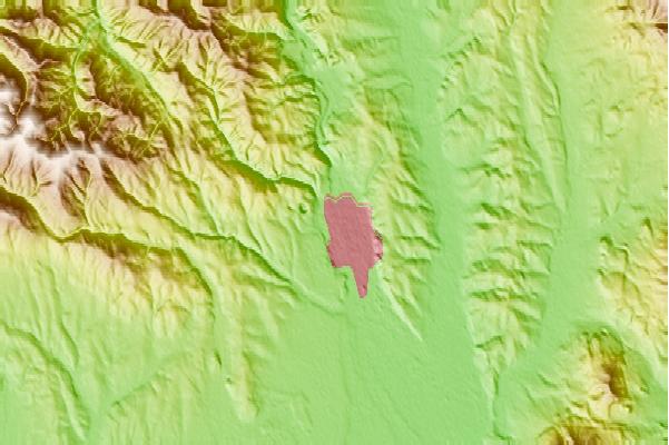
If anyone wants me to do an area send me the 1" .bil grids (zipped as downloaded) that cover your area of interest from
http://earthexplorer.usgs.gov/ and the central coordinate of your area of interest and I'll send you the converted PNG in 16-bit resolution and the correct scale (16.67 m/pixel in X and Y). I won't trim the image file to exactly 18 x 18 km because you can do that in any image editor to focus the image exactly where you want to build. When selecting your area of interest in the viewer make sure the red rectangle around your location covers at least 25 x 25 km so that the required grids will be listed.


")