• We have updated our Community Code of Conduct. Please read through the new rules for the forum that are an integral part of Paradox Interactive’s User Agreement.

Rudolf Hessbart

Second Lieutenant
5 Badges
Mar 3, 2015
153
114
  • Darkest Hour
  • For The Glory
  • Victoria: Revolutions
  • Victoria 2
  • Hearts of Iron IV Sign-up
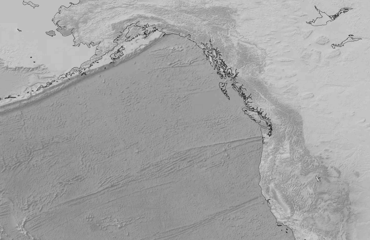
I'm trying to modify some province borders, but I am afraid of losing the topography when converting the map. Could someone show me how to edit the Darkest Hour map properly or could someone tell me how I can edit the different zoom levels individually?

TLDR: How do I keep the topographical look when editing the map?
Unbenannt.PNG
 
I am afraid that isn’t possible. Maputility only extracts Zoomlevel 1, i.e, the layer without topographic look. You could re-add the topographic look later, but you would have to do it from scratch, just as I did with the E3 Map.
 
That sucks :/ I guess I'll have to make create 4 different maps for each zoom level then. Thanks though and good luck with your map!
 
That's what I meant ;) But for that I have to export the map 4 times since I want to keep the DH map format (topographical look and no names on zoomlevel 3&4, no province borders on 4 and thicker national borders per zoom level and topographical water on 2.)
 
You export the map once and then you make four copies of the colorscales and borders. Tiles and IDS are always the same. Then you draw the different border maps (thicker, no edge etc.). That’s all easy the hard part are the colorscales i.e. the topographic look. When you are done with all that you make four different map versions with mapmaker use zoomlevel one as Basis and just copy the lightmaps 2-4 from the other maps into your base map.
 
Hmm, I will try that. Thanks for the tipp