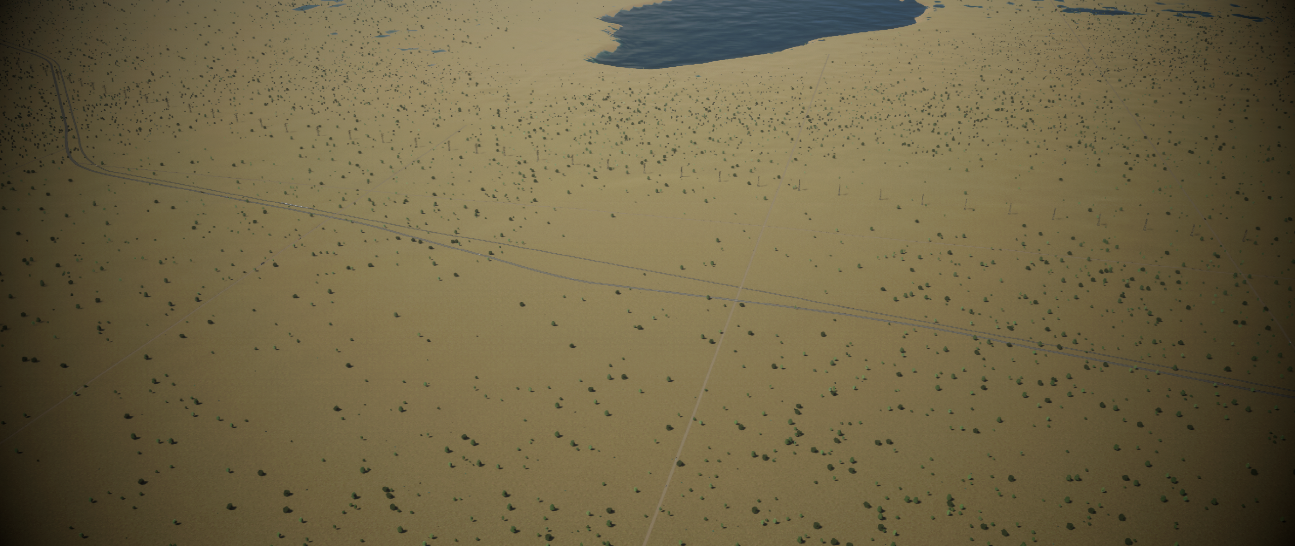
A Fertile rolling plains map, with various resources realistically placed, along with some others placed for use-ability. Roads are all where roughly they'd be with most of them being gravel roads. Approximate electricity connection, realistic railway location. Wavy lake in the north of the starting location. Trees added for survivability. Air Connections are for the North-East Edmonton International Airport, and the south would be Calgary International Airport.
This is my first real map where I tried to re-create as much from memory as I could. Using google maps to approximate stuff. Much of the ground water is from slews and small ponds.
Please feel free to make suggestion or requests within reason.
Last edited:

