

Interesting. If anyone doesn't want to count: The visible area shows roughly 150 baronies. I did count areas which are empty but look like they might be their own area, so my counting is not that 100% exact.Well they've already confirmed on discord that indeed those are baronies, not counties. Counties is the little silver crown you can see on the other screenshot.
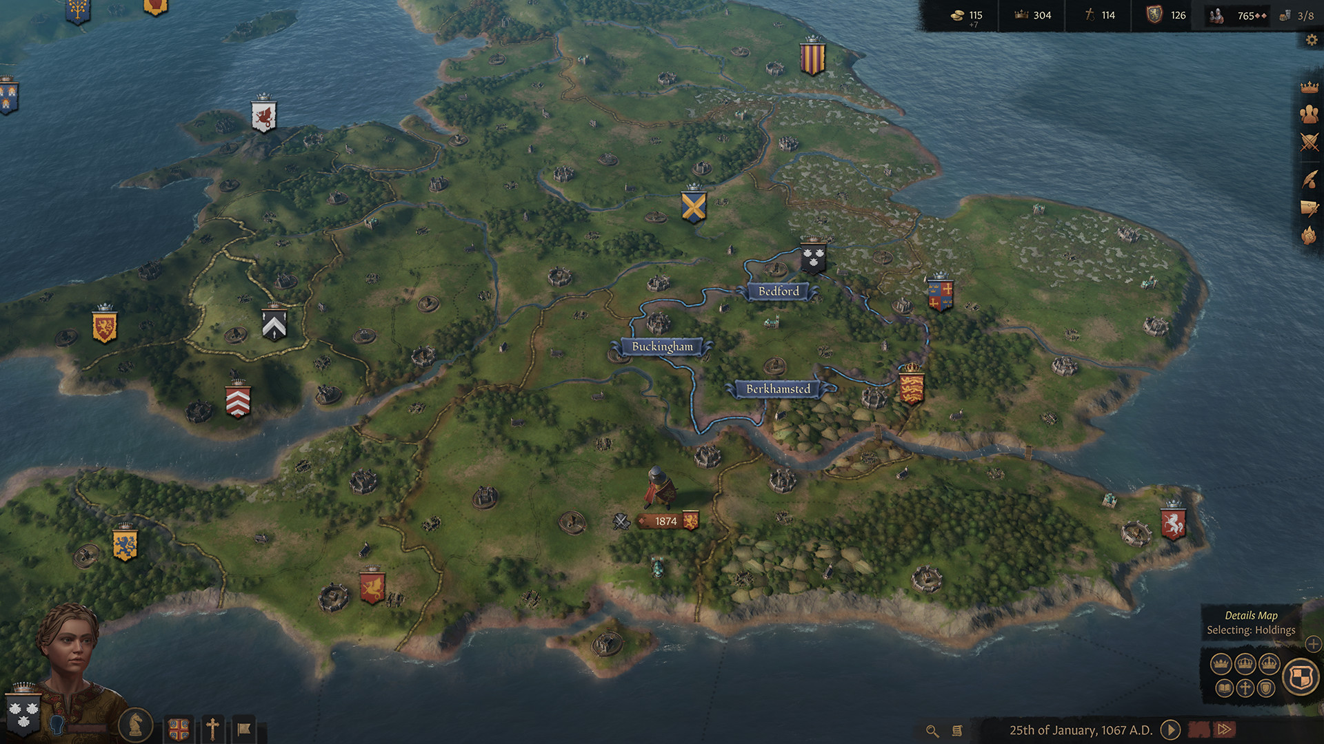
You can even see the blue borders and names. You can see the names of only three of all the holdings on the map inside the county. Why? Well I guess because those are the three fortresess or castles, and the other ones are towns and parishes (or churches) I suppose, whose names don't show up maybe? But yeah, thats the county. The country is a bunch of on-map provinces, or holdings, that are now the baronies, towns and churches.
Well obviously, but I think its just a map representation of a church owned holding. Like in CK2, its just now on the map")
Also hope that they at least add some city visuals (houses) to all kind of holdings (castles + churches). While castles are acceptable without a town, these cathedrals just look incredibly silly.Yes, but you know that bishoprics are not in the middle of nowhere right? they are always around a town or city, and this is not represented on the map. For it is certainly not a monastery by the way. My 2 major problems with this is that 1. It is not depicting castles and bishoprics around towns or cities on the map (as they should be). Except for military-focused castles that would serve as a fortress in the region. 2. Buildings that represent this are needed, not just a Castle Town IV building to do.