26th Post: The Industries of Jolore
If Lionhart were the proverbial financial juggernaut for the region, then Jolore would be the industrial engine that powers the juggernaut. Raw material extraction and refining, primary manufacturing, transportation, and logistics – Jolore has almost every kind of material and goods ready for Lionhart’s advanced manufacturing and consumption, which in turn fuels Lionhart’s financial sector.
Colossal Ore Jolore
The most conspicuous industry has to be the Colossal Ore’s open pit mine next to the city. Although many people have found the mine unsightly, the mine has provided many jobs, critical materials for industry and development, and tremendous contribution to the local and regional economy. Ran by a subsidiary of the world’s largest mining conglomerate, Colossal Ore Jolore is in its third decade of operation, supplying the region with various types of ore and minerals, as well as construction aggregate.
While the open pit mine got all the attention, beneath it lies a sprawling ore refining and foundry complex. Here, ore, rocks, and sand are turned into metals and composites, as well as glass, ready to be trucked to the factories and construction sites next door or afar.
While Colossal Ore holds mineral and land rights beyond the mine, with the potential to expand the mine, the conglomerate faced staunch resistance from a broad alliance of environmental groups, indigenous groups, and local politicians. Colossal Ore had taken on many goodwill projects and programs to maintain its generally agreeable relationship with the residents of Jolore City. Among these projects and programs, the Jolore sign is the most visible and is relished by many residents.
The open pit mine operated by Colossal Ore Jolore.
The mine from another angle looking toward Lionhart
The mine is supported by a large power substation, a freight rail station, and various sorting and processing facilities.
Various kinds of excavators, including two large wheel excavators imported from Europe.
The freight rail station dedicated to transporting mined ores and aggregates to the refining and foundry complex downhill.
Looking over the Jolore sign toward downtown Jolore City
The Jolore sign is as much a landmark at night as during the day.
Open pit mine at night
The mine from another angle looking toward Lionhart, at night
East Jolore Industrial Zone
The Colossal Ore refining and foundry complex forms part of the East Jolore industrial Zone, which also houses a variety of both supporting and independent heavy industries. The industrial zone has a well-developed logistic network – from warehouses to rail and air freight logistic centers, as well as a connection to the inter-regional highway system. Nominally part of Jolore City, the industrial zone is governed by an independent administration that prioritizes business and economic interests, which has a tendency to neglect environmental and social issues such as pollution and workers’ welfare.
The ore refining and foundry complex associated with the mine
Rail connection allows easy transportation of raw and finished materials from the complex.
Beside Colossal Ore's refining and foundry complex, East Jolore Industrial Zone also hosts many businesses, such as Meerkat Press, an industrial printing press.
Power is critical in keeping the factories and foundries running.
Air pollution is a serious issue at the industrial zone.
A far view of the East Jolore Industrial Zone
The rail logistical center is a key component of the industrial zone.
Another view of the rail logistical center
Non-stop freight traffic transporting raw materials and finished goods in and out of the industrial zone.
Looking from above
Newmont Refining Complex
Way down the eastern coast lies Jolore’s other industrial behemoth – a large refining complex that refines oil extracted locally from both on-land derricks and an ocean drilling rig, as well as oil imported from elsewhere in the region, into different kinds of fuels and by-products, including plastics. Aside from two huge refineries, multiple petrochemical and cracker plants, and a large oil tank farm, the complex also has a freight rail terminal, passenger rail terminal, a company town to house its many workers, and even a helipad with regular direct service to the regional airport.
Far view of the Newmont refining complex.
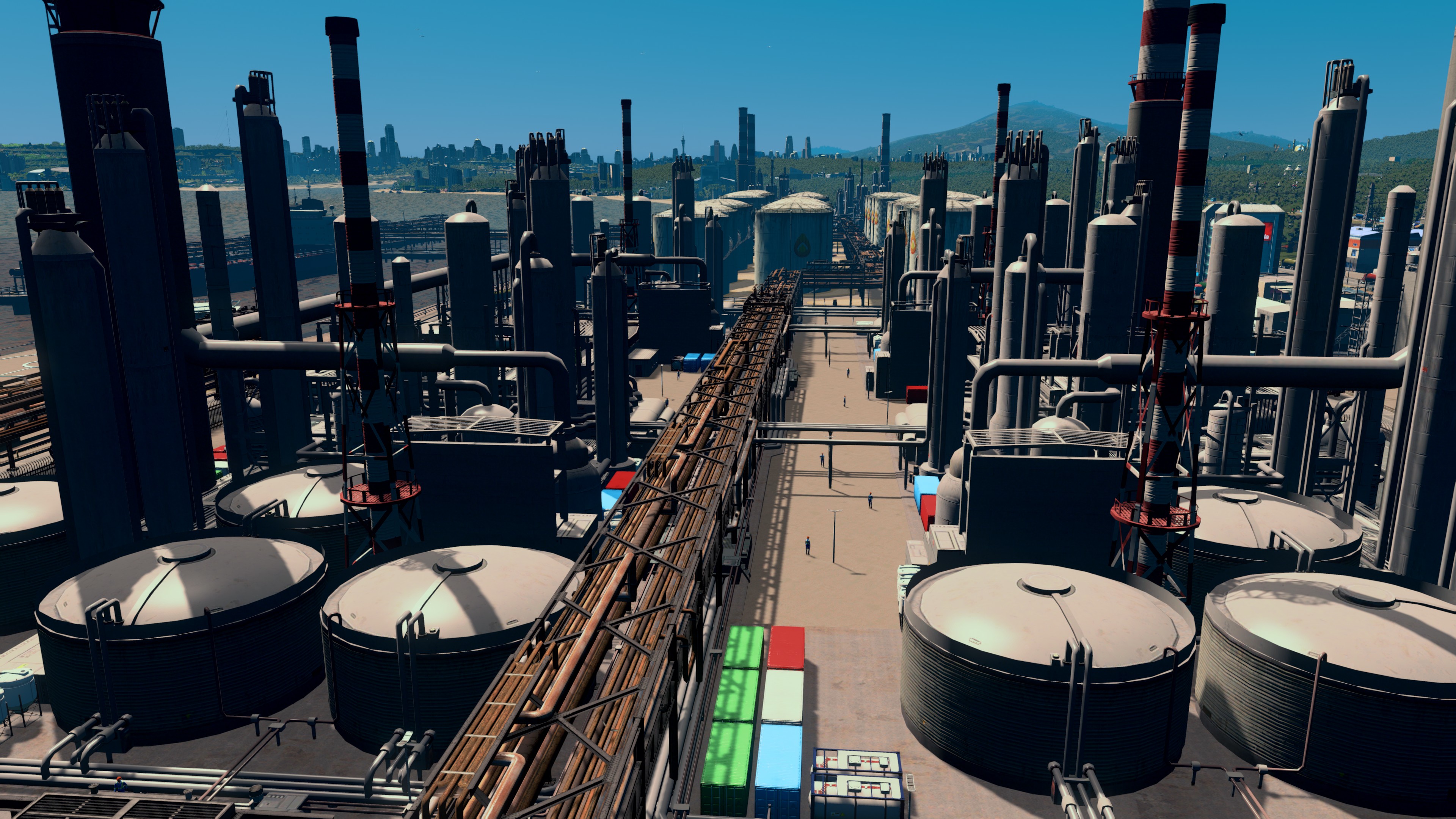
Pipelines, tanks, and smokestacks.
Looking from the other end.
Oil tanker terminals.
Stockyard for various oil and fuel products.
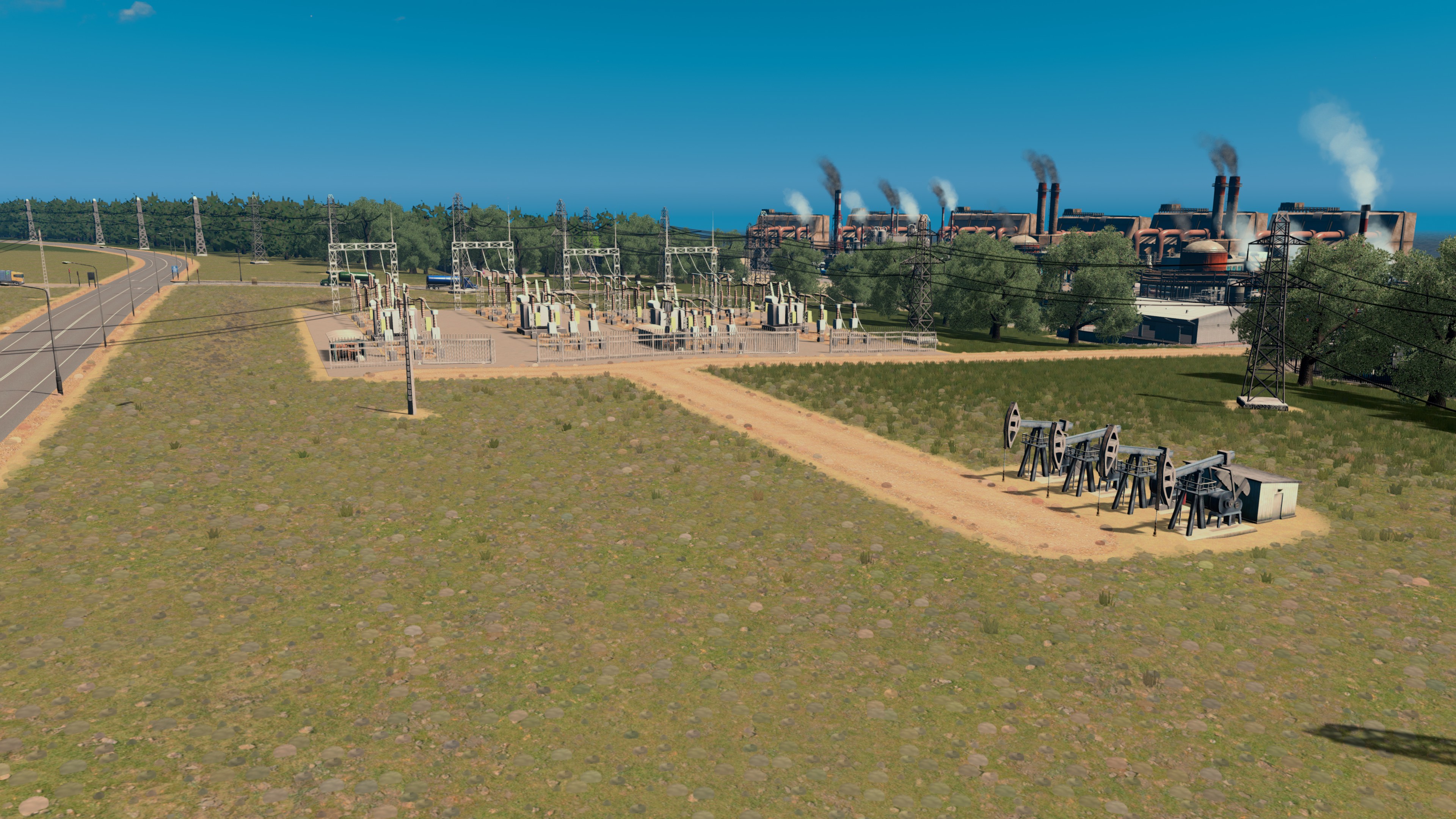
The refining complex also has several land-based oil wells.
Busy freight traffic on both roads and rails.
The freight rail station at the Newmont refining complex.
The passenger train station that serves both workers at the refinery, their families living in the company town (visible to the left), and tourists heading to the resorts via a bus connection.
Heliport at the complex allow quick transportation to and from Jolore Regional Airport.
The company town is officially part of the refining complex and unnamed. Its residents referred it as "Newmontville" or "Oil Town".
Newmont Refining Complex at night.
Smokestacks at night.
Oil tanks at night.
Worker's dormitories at night.
The offshore drilling rig, like the open pit mine, is an unsightly yet iconic landmark.
Burung Enggang Forest
Name after the state bird – Hornbill in English, the rugged terrain of the small range preserved the dense forest from extensive development. Nevertheless, Mandiri Wood Products – a long-time family company specializing in age-old sustainable forestry techniques, has a big timber harvesting business here. Construction lumber, furniture-grade tropical wood, industrial fiber, all kinds of paper, and many more wood products – the mark of Mandiri Wood is ubiquitous in Jolore, Lionhart, and on the many products exported worldwide that involve wooden components. The company is widely praised for its fair compensation to its employees and effort in protecting the environment, including conservation efforts in protecting the untouched parts of the forest, where the Hornbills roam.
Despite a working landscape, Burung Enggang Forest adds a large patch of green buffer between the cities and developed districts.
The Company HQ of Mandiri Wood Products and tree nursery
Large residential complex for the forestry workers.
Tree plantations and a fire watch tower
The Burung Enggang Forest Emergency Response Center with freighting and rescue helicopters at the center, surrounded by various storage and wood processing facilities. Agricultural fields of Sungai Teduh in the background.
A far view of the working part of the Burung Enggang Forest
A regional view also showing Sungai Teduh and the Newmont Refining Complex
Sungai Teduh River Plain
Shady River in English, Sungai Teduh springs from the high mountains beyond Jolore and cascades down a series of ridges lining the north side of a vast inland river plain. The river has supported the vibrant agriculture on the river plain since ancient times. Sungai Teduh is also referred to the entire river plain area that covers crop fields and orchards further west, where two parallel rivers once flowed before they were diverted and subdued after the opening of the Colossal Ore mine.
Agriculture across the Sungai Teduh River Plain provides a significant share of the region’s food, as well as agriculture exports to other states and countries. While many smaller family farms are still in operation, several large commercial outfits dominate the local agricultural industry, such as the multi-national fruit giant Sunrise Growers, and local meatpacking and dairy co-op Jaya Farms.
Most recently, a long-running conservation effort to restore and protect the Sungai Teduh had come to fruition – the donation-funded Sungai Teduh Nature Preserve opened its doors to visitors after being recognized by the Jolore Government. From the whitewater cascades upstream to the Nature Museum downstream, the nature preserve offers educational opportunities to local students and another excursion destination to the many holidaymakers at the resorts along the coast.
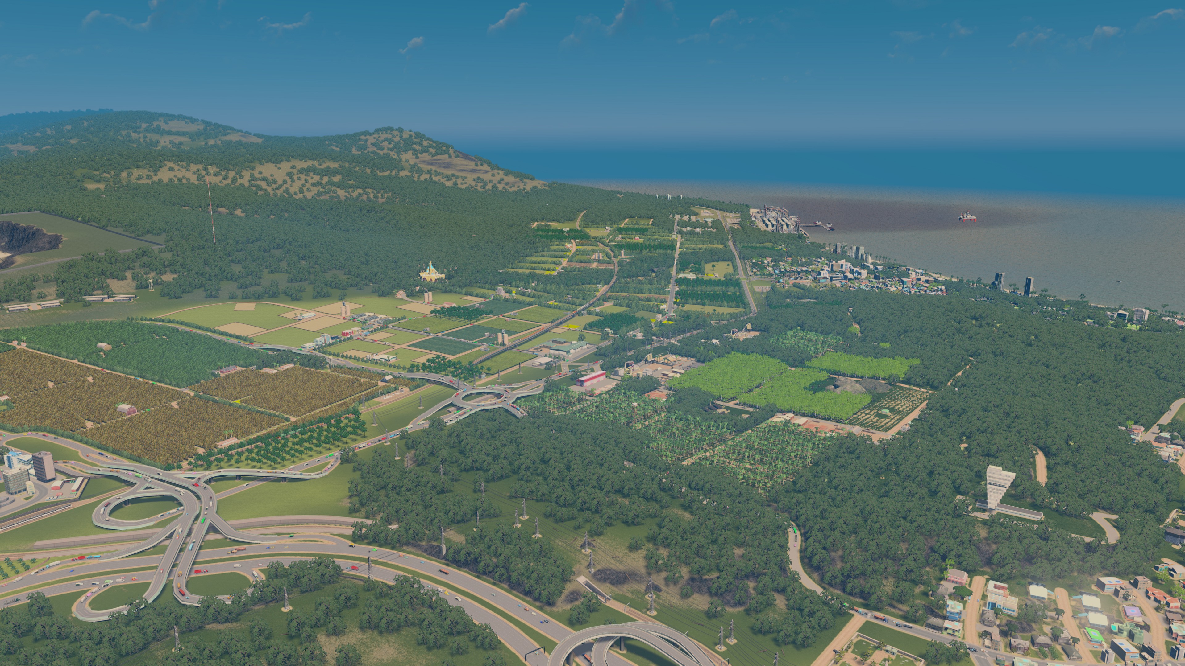
The entire view of the Sungai Teduh River Plain
The railroad that runs down the river plain is a good marker to orient oneself among the many similar-looking fields.
Freight train passing by farmfields and orchards.
Sungai Teduh has many family farms.
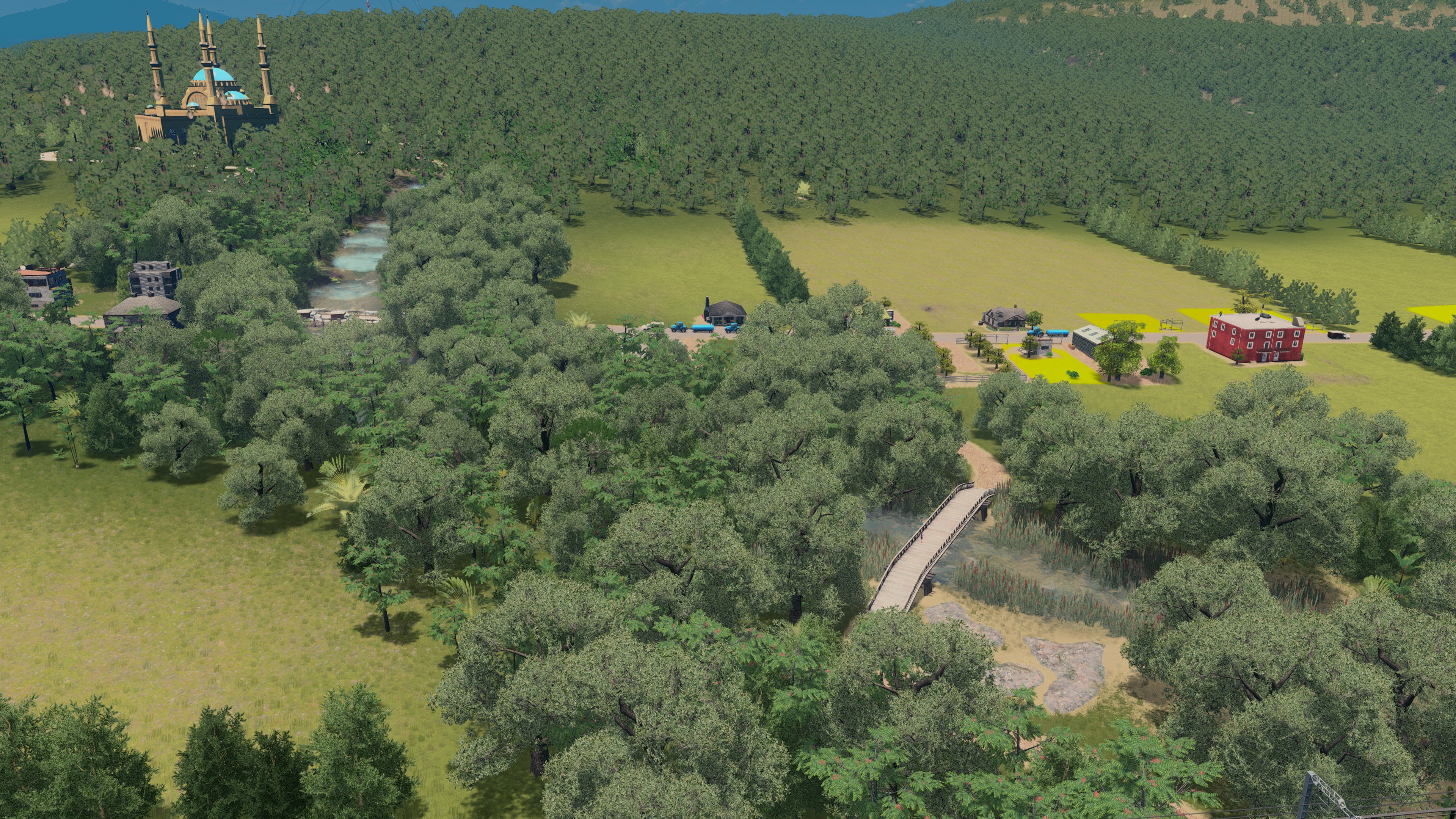
Train passing by the Sungai Teduh, with the Mosque on the Hill visible.
The railroad cut through the grounds of Jaya Farms, a local meatpacking and dairy co-op.
Various crop fields at Jaya Farms growing animal fodder crops.
The cattle yards and grazing pastures.
From another angle toward Lionhart.
A farm road among the Sunrise Growers orchards.
Part of the orchard is really close to the airport runway.
Jolore State Highway 14 borders the large orchard.
The orchard at sunset.
The heart of the Sungai Teduh Nature Preserve -- the Nature Museum on right and the Sungai Teduh Equestrian Center on left.
The slower downstream section of the Sungai Teduh.
The Sungai Teduh Bird and Bees Reservation at the downstream end of the nature preserve.
The faster upstream section of Sungai Teduh.
Designed by a renown Muslim architect, the Mosque on the Hill was commissioned by the influential owner family of Mandiri Wood Products and is a very popular wedding venue.
Looking toward Lionhart at sunset.
The sheep know it is almost time to go to sleep after a long day of grazing.
But many truck drivers don't rest at night.
Bonus: Jolore Regional Aiport
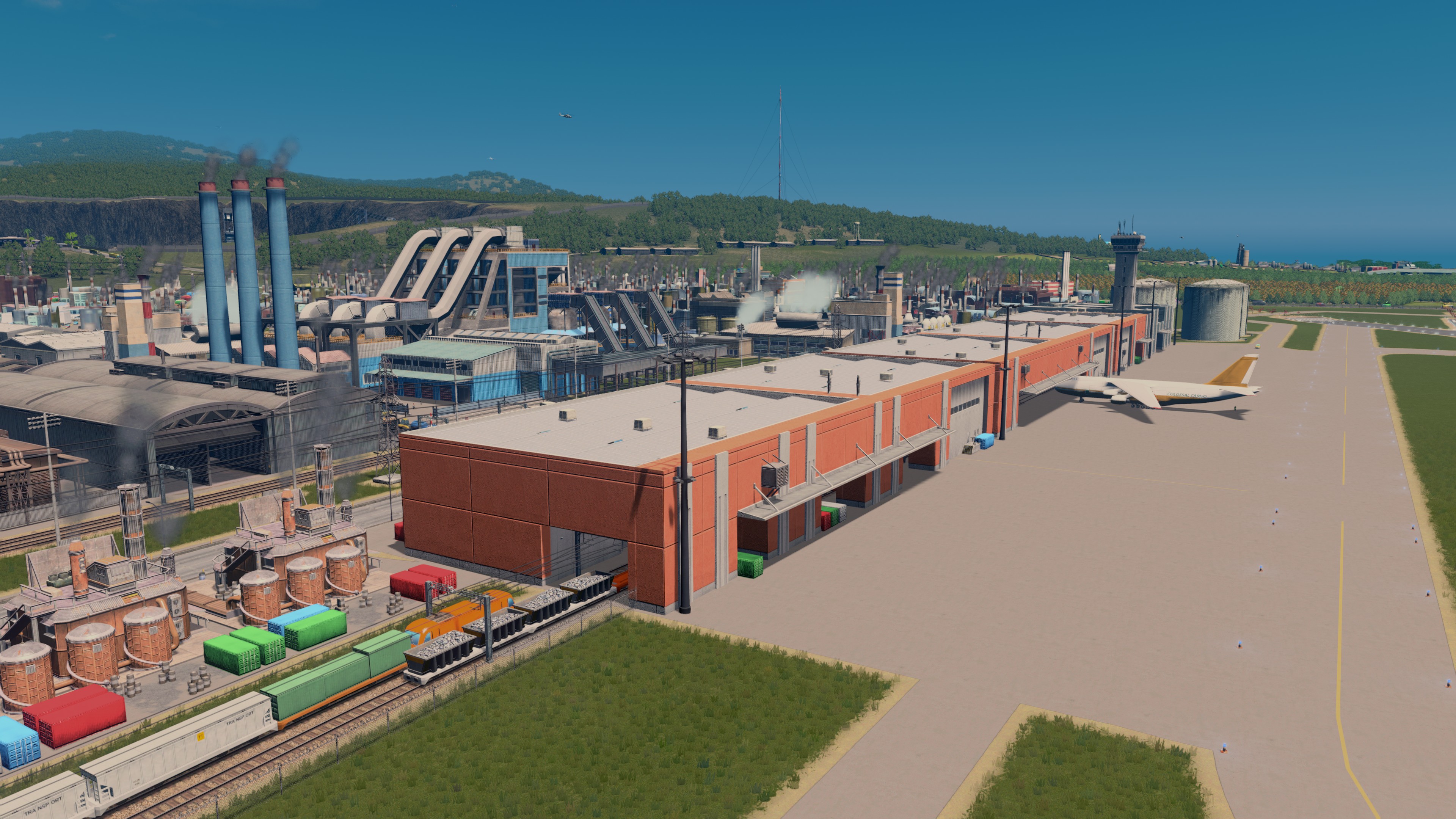
The second largest airport in the Jolore region, the Jolore Regional Airport serves a heavy mix of passenger, freight, and military flight traffic with its two crisscrossing runways – 28-10 and 23-05. Next to rail lines and logistic centers at the East Jolore Industrial Zone, the airport is well integrated into the regional transportation network. Travelers are only a short train ride away from the Jolore City Central Station and air-going cargos are loaded directly between train cars and planes’ cargo holds.
The Jolore Regional Airport.
As seen from the other side
The passenger terminal is moderately sized but very busy
The rail-to-air terminal is large and even busier
Military jets and helicopters at the ready
The airport's passenger train station is the key connection to and from the surrounding cities and districts.
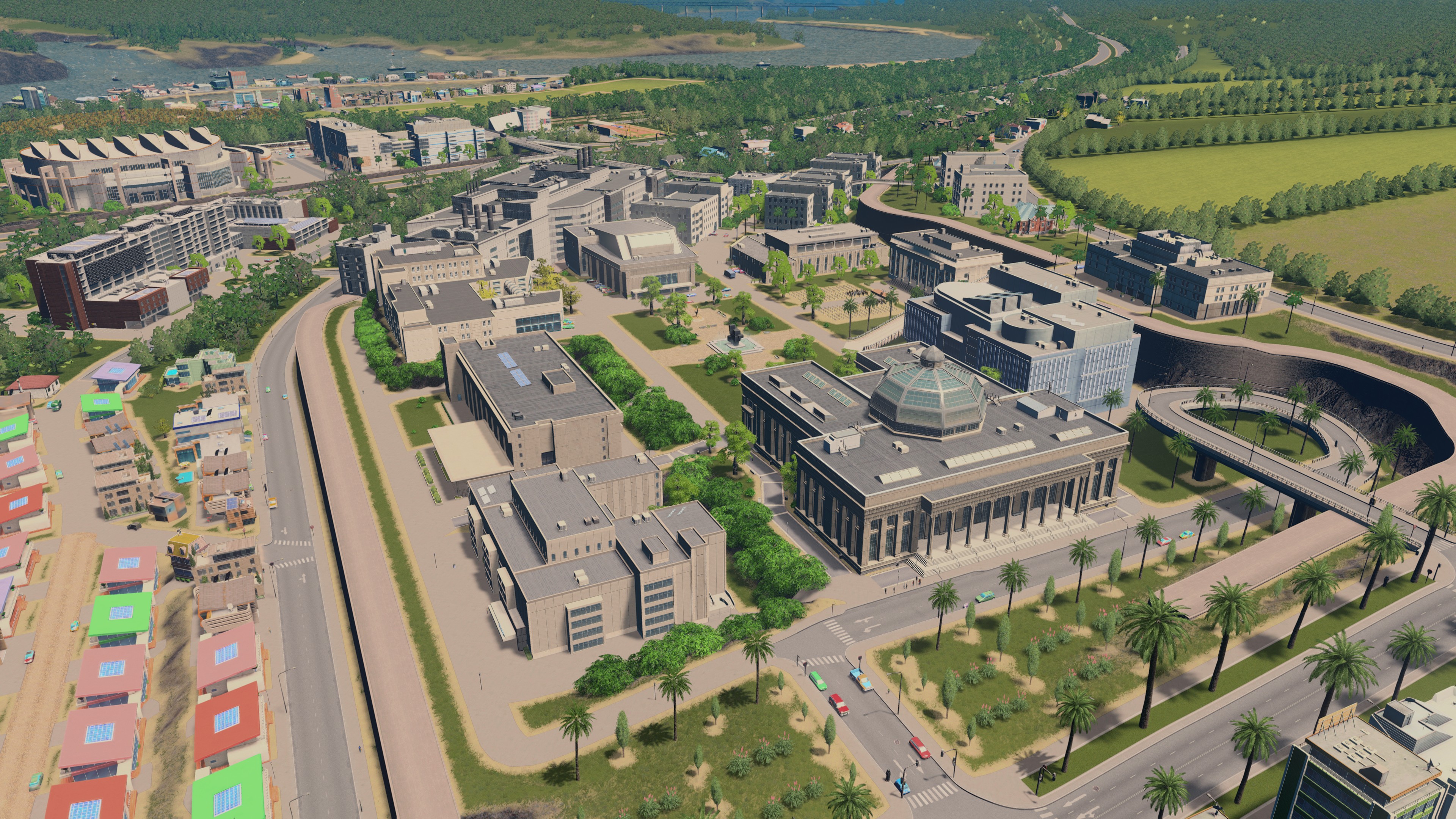
A research office park next to the airport.
Jolore Regional Airport at night.
Regional Airport as viewed toward Jolore City.


