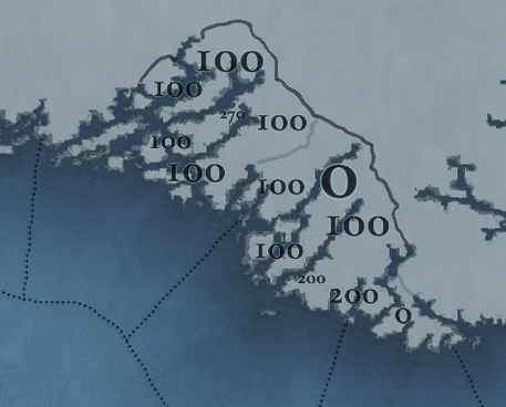
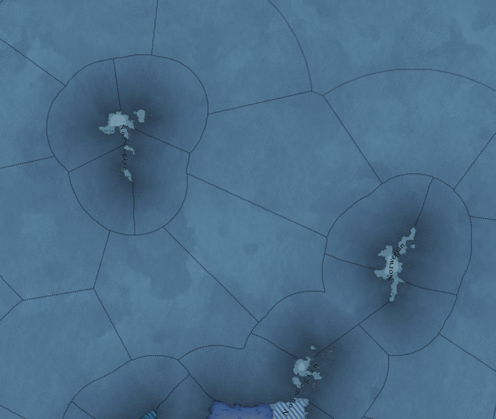
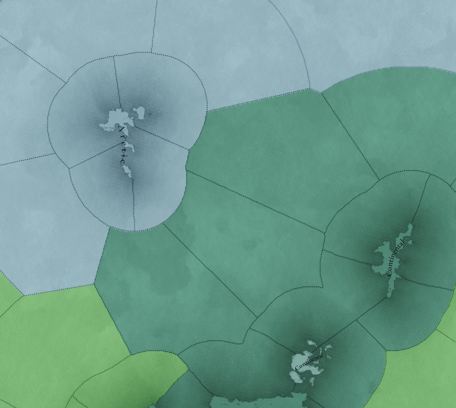
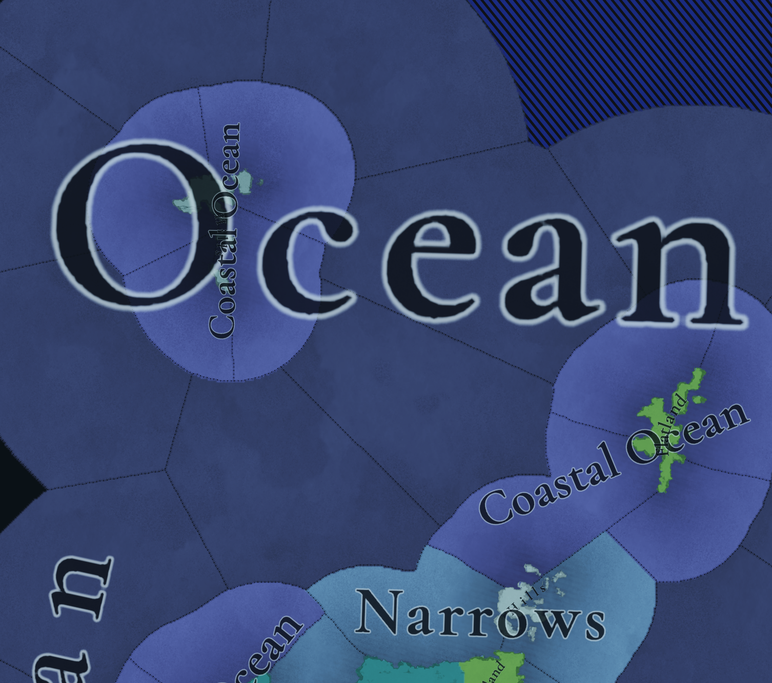
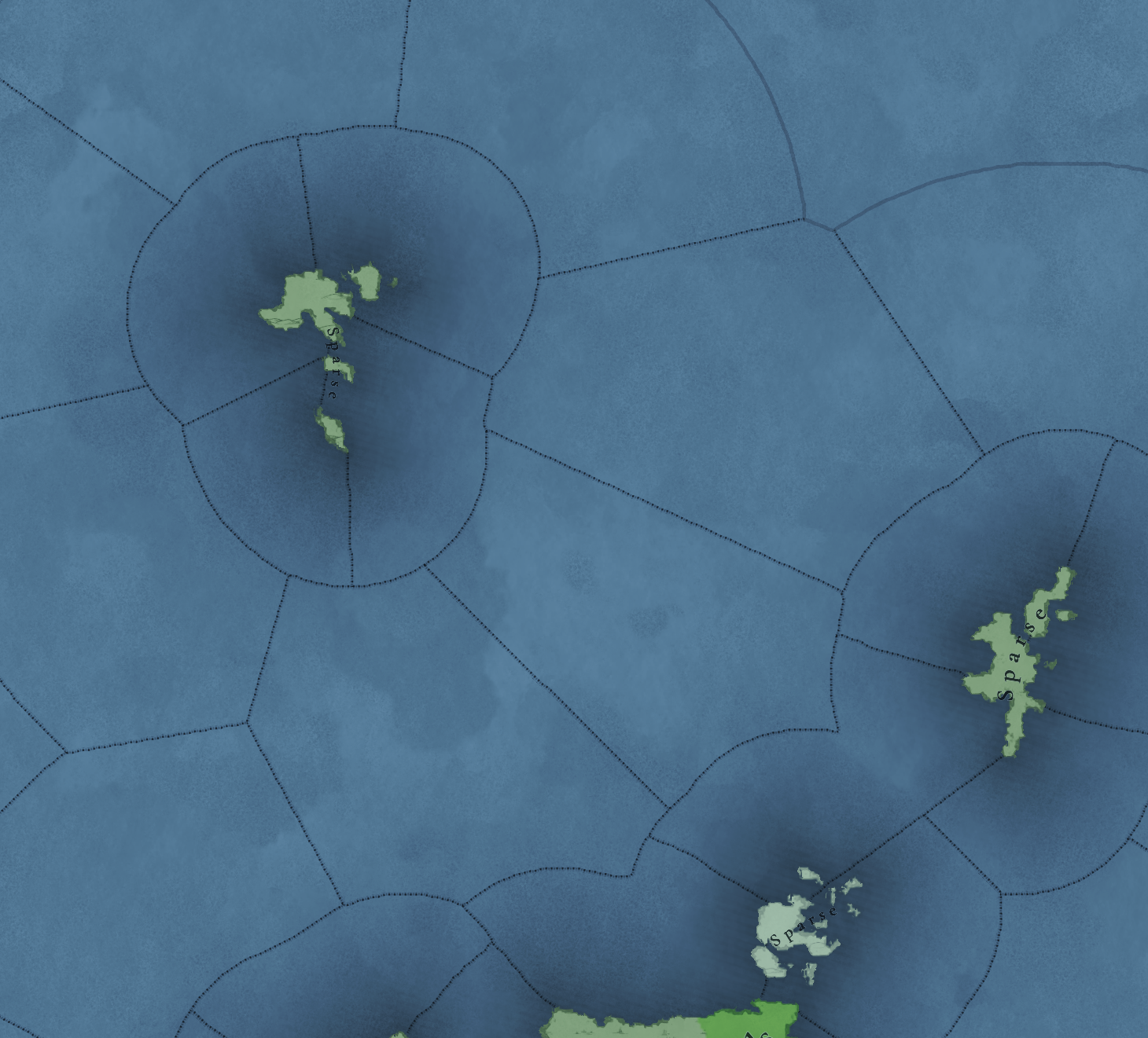
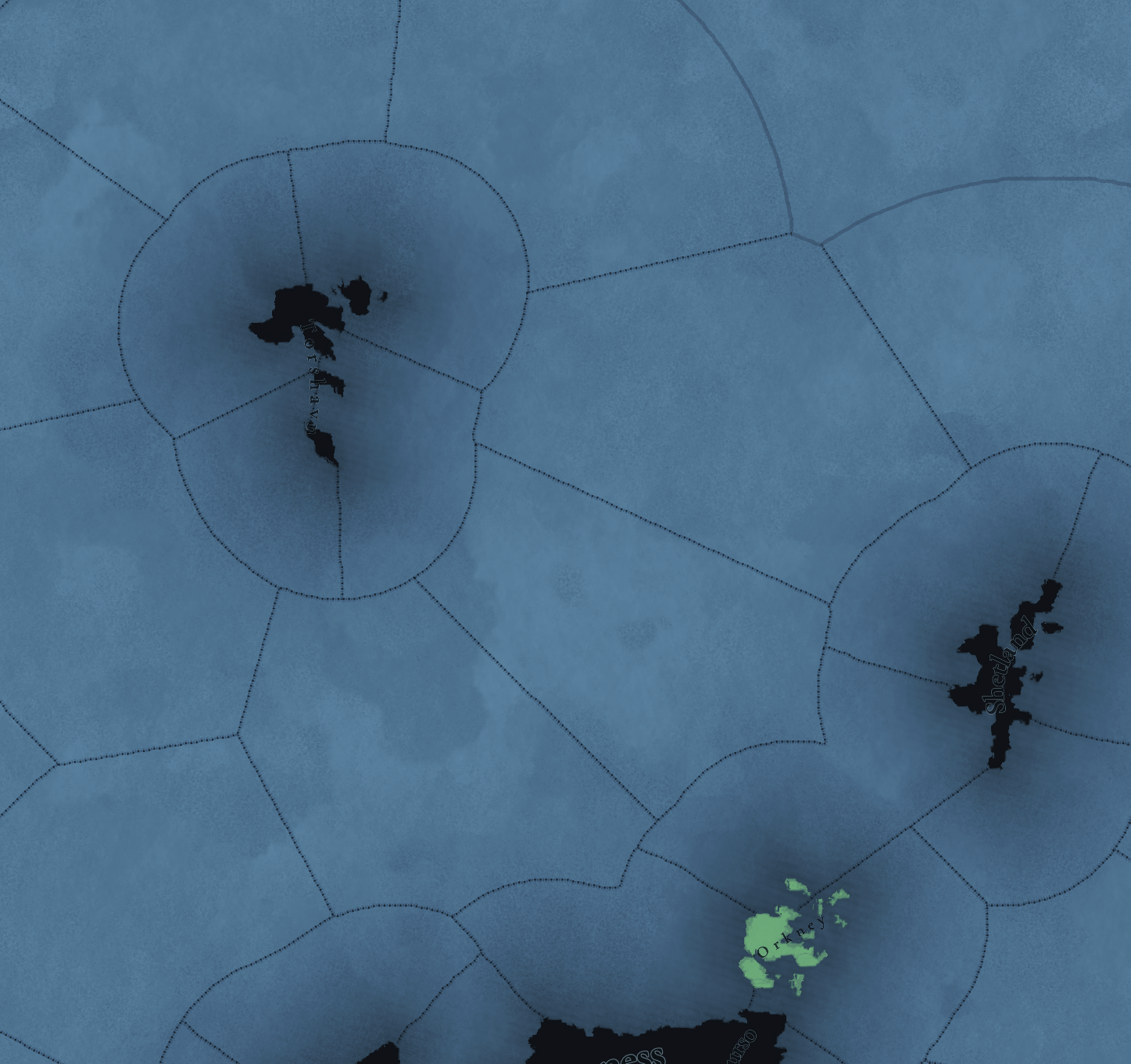
Ever since we got this glimpse of Iceland in the dynastic Tinto Talk, I've been waiting to get this off my chest.
View attachment 1163068
Now that Scandinavia (presumably including Iceland) is next on Tinto Maps, it's TIME.
First and foremost, PC will be the first Paradox game with enough granularity to warrant Iceland getting some more detailed treatment, so these are exciting times to be an Icelandic map painter. But for whatever reason, the devs have deemed it fit to rip our beautiful southern coast away from us. Needless to say, I have some feelings about this.
Southern Iceland:
View attachment 1163160
I've marked this satellite map of the southern half of Iceland. The red marks the wasteland borders seen in the dynastic map. The areas encased in orange are the two biggest "sands" in the country (Mýrdalssandur on the left and Skeiðarársandur on the right, I recommend looking up pictures). The white areas are, of course, ice caps.
The "sands" are
glacial outwash plains. The process that created them is quite cool. Geothermal activity causes liquid water to pool up underneath the glaciers, and when the space under the glacier runs out, it all bursts out in a flash flood. Then repeat next year. It's kind of like nature flushing a toilet. These floods can be enormous, so no soil is left behind, just a big plain of black sand. This sandy plain is uninhabitable, yes, but it's totally flat and trivial to traverse under normal conditions.
I kind of get why you might look at this map and just dismiss the south as a wasteland. Besides the wet sand-deltas, these big ice caps are almost hugging the coast. Is there really anything in those thin strips separating the glaciers from the ocean?
The answer is yes. Yes there is.
Archeological map:
View attachment 1163162I got this beauty from the
Icelandic Heritage Foundation, a government agency responsible for archeological digs, among other things. This image is huge, since I had to stitch together screenshots to show this at a decent zoom-level, or else the markers would've been too big. I recommend expanding for a better look.
The white, black, and brown markers are remains of actual man-made structures. The green markers (which is the vast majority on this map) is the REALLY interesting information. Those mark place-names that the foundation connects to a "potential" site. In other words, it's the places where they except to find something if they were to look. This map is basically our best guess as to where people lived and traveled in pre-modern Iceland. We can maybe even extrapolate population distribution based on this map, as there were no real urban areas with concentrated population centers.
I've also marked four clusters that are left out entirely if the southern coast is left as wasteland. The second one from the left is particularly noteworthy, as it contains
Kirkjubæjarklaustur, one of our more famous historical sites. You might as well make Uppsala in Sweden a wasteland.
County map:
View attachment 1163205
Iceland's historical county system corroborates this. Here are Iceland's 23 counties (sýslur) when the 1703 census was conducted. These had been more or less unchanged since the 16th century. County #20 (Vestur-Skaftafellssýsla) is ENTIRELY within Paradox's wasteland.
My wasteland suggestion:
View attachment 1163204
I took the archeology map and a drew a red line around the sea of markers, pretty simple. I also stretched the image to match the map projection, for your convenience.
A note on the northeast, though. The dynastic map has the wasteland almost reach the northeast coast. It's more tundra-ish up there, sure, but it's not the rocky desert you'll find in the proper highlands, nor are the mountains there particularly tall.
I recommend a more river-based boundary. I've marked the three major rivers in yellow that flow from Vatnajökull to the north and northeast (left to right: Jökulsá á Fjöllum, Jökulsá á Dal, Lagarfljót). The inland route up Jökulsá á Fjöllum was a pathway people often took when traveling from the north to the Eastfjords, rather than tracing the coast, so I think the border should reflect that.
I hope my point has been made. Iceland's southern coast should NOT be a wasteland.
