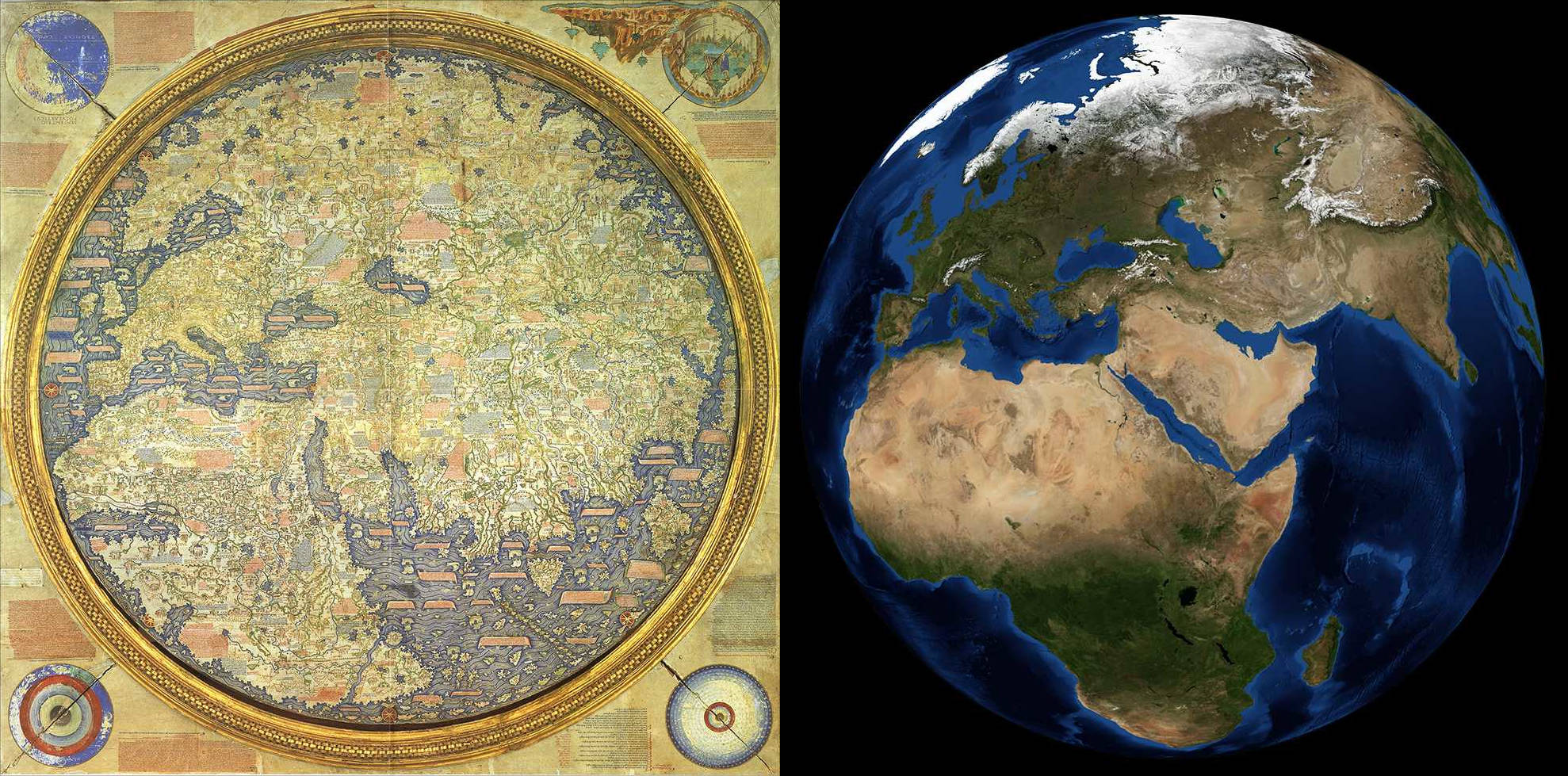
Hello, and welcome to a Special Edition of our Tinto Maps series! Today, as a Three Wise Men present (a quite important tradition here in Spain), we'll be taking a look at how the different map modes look like throughout the entire world. Without further ado, maps!
Countries:


Building-based Countries:

SoPs:

Dynasties:

Country Governments:

Court Languages:

Locations:

Provinces:

Areas:

Terrain:


Johan will talk this Wednesday about the effects of each terrain type.
Development:

Harbors:


We're also showing the map of European harbors, as that was not shown previously. Feel free to give your feedback!
Cultures:

Languages:

Religions:

The Animism split was completed, and the grouping into bigger families is almost finished (there's some pending work on Western and Eastern Africa, but that's it).
Raw Materials:

Markets:

Population:
There is a total of 421M pops worldwide, distributed this way (and pending review, as we have identified some duplicates and errors that we have yet to fix, as in Germany, plus some additions in other places, as discussed in the different Tinto Maps threads):
And this Friday 10th we will start a new series, Tinto Flavour, in which I will show and talk about the content that we have been creating for Project Caesar. We hope that you will enjoy this new series and that you can keep helping us make this a fun and engaging game. Cheers!
PS: Today is a bank holiday in Spain, so I will reply to the comments tomorrow.
Countries:


Building-based Countries:

SoPs:

Dynasties:

Country Governments:

Court Languages:

Locations:

Provinces:

Areas:

Terrain:


Johan will talk this Wednesday about the effects of each terrain type.
Development:

Harbors:


We're also showing the map of European harbors, as that was not shown previously. Feel free to give your feedback!
Cultures:

Languages:

Religions:

The Animism split was completed, and the grouping into bigger families is almost finished (there's some pending work on Western and Eastern Africa, but that's it).
Raw Materials:

Markets:

Population:
There is a total of 421M pops worldwide, distributed this way (and pending review, as we have identified some duplicates and errors that we have yet to fix, as in Germany, plus some additions in other places, as discussed in the different Tinto Maps threads):
- 99.203M in Europe
- 262.270M in Asia
- 37.204M in Africa
- 20.499M in America
- 1.885M in Oceania
And this Friday 10th we will start a new series, Tinto Flavour, in which I will show and talk about the content that we have been creating for Project Caesar. We hope that you will enjoy this new series and that you can keep helping us make this a fun and engaging game. Cheers!
PS: Today is a bank holiday in Spain, so I will reply to the comments tomorrow.


