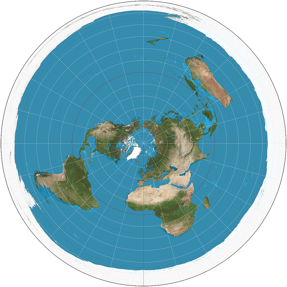
Perhaps it's time to create a separate post. After some experience with working on DH and E3 maps, I decided to change the map's projection. The work turned out to be very difficult. The basis was a circle divided into sectors.


The size of the world had to be adjusted and rotated slightly clockwise - Australia and New Zealand did not fit on the map. Unfortunately America suffered
In the ArcGIS program, I started linking all images to sectors - files tiles, ProvID, colorscales, border. As it turned out, ProvID files survived this transformation relatively well


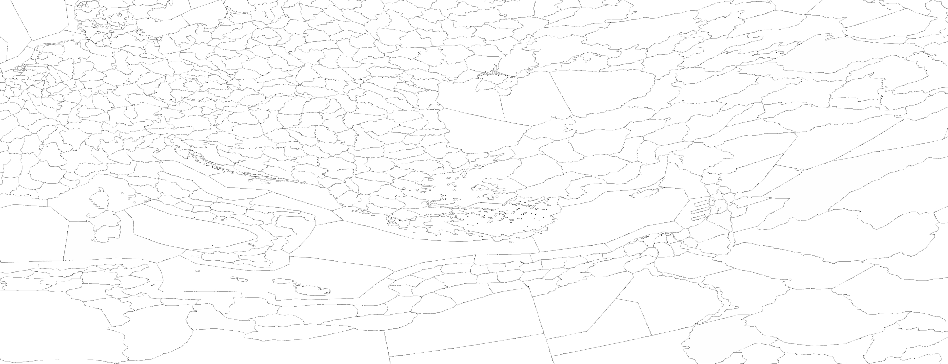
Unfortunately, Colorscales files have lost their neat appearance after transformation and are impossible to use. Therefore, from the combined ProvID, all boundaries (automatically), rivers and colorscales were re-created.
With the help of trial and error, I managed to remove the seams (as I did on DH Rus Map and E3). Colorscales - I created 3 samples and not one of them completely suits me, it always seems too rough to me. Further there are many errors along the boundaries.
Yes, I did not describe the work process in detail, just the ArcGIS and CorelPhotoPaint tools. I had to get rid of the CorelDraw vector editor because he is the source of the problem in the form of seams between images.
As for compatibility with original files - full compatibility. Only in the Province.csv file you need to set the position of all objects to 0. The work is not finished here. Compatible with all mods (unless the Province.csv file is modified
What are the problems:
Layer three, as usual border (Germany, Netherlands image problem)
Division icons in large deformation zones do not correctly match the province (Australian coastal waters)
Europe seems to have become unplayable
Colorscales.scv file needs adjustment
The work is not finished. The borders at the North Pole are ready, but the seas are not ready.


Install: copy files, make backup copies of files first.
Map_1 (topo) contains a view with a satellite (image transparency 50%) in layers layer 1, 2. In layer 4 there is a satellite without transparency
Map_1 does not contain satellite images


The size of the world had to be adjusted and rotated slightly clockwise - Australia and New Zealand did not fit on the map. Unfortunately America suffered
In the ArcGIS program, I started linking all images to sectors - files tiles, ProvID, colorscales, border. As it turned out, ProvID files survived this transformation relatively well


Unfortunately, Colorscales files have lost their neat appearance after transformation and are impossible to use. Therefore, from the combined ProvID, all boundaries (automatically), rivers and colorscales were re-created.
With the help of trial and error, I managed to remove the seams (as I did on DH Rus Map and E3). Colorscales - I created 3 samples and not one of them completely suits me, it always seems too rough to me. Further there are many errors along the boundaries.
Yes, I did not describe the work process in detail, just the ArcGIS and CorelPhotoPaint tools. I had to get rid of the CorelDraw vector editor because he is the source of the problem in the form of seams between images.
As for compatibility with original files - full compatibility. Only in the Province.csv file you need to set the position of all objects to 0. The work is not finished here. Compatible with all mods (unless the Province.csv file is modified
What are the problems:
Layer three, as usual border (Germany, Netherlands image problem)
Division icons in large deformation zones do not correctly match the province (Australian coastal waters)
Europe seems to have become unplayable
Colorscales.scv file needs adjustment
The work is not finished. The borders at the North Pole are ready, but the seas are not ready.


Install: copy files, make backup copies of files first.
Map_1 (topo) contains a view with a satellite (image transparency 50%) in layers layer 1, 2. In layer 4 there is a satellite without transparency
Map_1 does not contain satellite images
Attachments
Last edited:
- 1
- 1
- 1


