Hello, and welcome to another new Tinto Maps! I’m back to duty, after the review of Italy that we posted last Thursday, and Johan taking care of Scandinavia last Friday. Today we will be taking a look at Germany! This region comprises the modern territories of Czechia, Austria, Switzerland, and Liechtenstein. However, for most of the timeline in Project Caesar, it was better known as the Holy Roman Empire. This organization once was a feudal empire elevated from the Kingdom of the Germans, but by 1337 was mostly disaggregated into a multitude of temporal and ecclesiastical jurisdictions, with only a tenuous feudal relationship with their Emperor.
Let’s start diving deep into this nightmare, then…
Countries:

I’m showing here a bit more of what the region is, so you can have a clear depiction of how it looks compared to the neighboring regions we’ve previously shown (and so that the Reddit guy who is patchworking the world map has an easier day ). What I can say about this when the map speaks for itself… The lands of Germany are highly fractured among different principalities, making for an extremely complex political situation. The Emperor in 1337 was Louis IV von Wittelsbach of Upper Bavaria… Because, yes, Bavaria is also divided. He is married to Margaret of Avesnes, daughter of Count William of Hainaut, Holland, and Zeleand, while his son Louis is the Margrave of Brandenburg. But probably the strongest power of the period is the Kingdom of Bohemia, whose king John also Duke Luxembourg and rules over both lands in a personal union, while also being overlord of the Margraviate of Moravia, ruler by his son Charles, and the Silesian principalities. The third contender probably is the Duchy of Austria, ruled by Albert II von Habsburg. He also rules over some lands in the formed Duchies of Swabia and Carinthia. There are also plenty of medium and small countries all over the region, with very different forms of government, which will probably make this HRE a very replayable experience…
Dynasties:

The dynastical map of the HRE gives a nice picture of the situation explained in the previous one. The von Wittelsbach, de Luxembourg (John of Bohemia is considered of French culture, therefore it uses the French toponymic article ‘de’; if he would change to the German culture, then it would be the ‘von Luxembourg’ dynasty), and von Habsburg cover much of the map; you may note that the Wittelsbach rule over five different countries (Upper Bavaria, Lower Bavaria, the Palatinate of the Rhine, and Brandenburg); while the House of Luxembourg also control the Archbishopric of Trier through Balduin, uncle of King John. Other important dynasties, although in a secondary position, are the Welfen, von Mecklenburg, and Gryf, present in multiple countries to the north; the Askanier, who happen to control half of Upper Saxony, while the rest is in the hands of the von Wettin; and the von Görz, who rule over the Duchy of Tirol and the County of Gorizia.
HRE:

We obviously have to repost the HRE IO map again here. The purple stripes mark the imperial territory, while the different types of members use different colors. We currently have these divisions in the IO: the Emperor (1, dark blue), Prince-Electors (4, light blue), Archbishop-Electors (3, medium blue), Free Imperial Cities (23, light green), Imperial Peasant Republics (2, orange), Imperial Prelates (44, white), and Regular Members (280, dark green). So, yeah, that make for a total of 357 countries that are part of the HRE. And before you ask: No, we won’t talk about its mechanics today, that will happen in future Tinto Talks.
Locations:


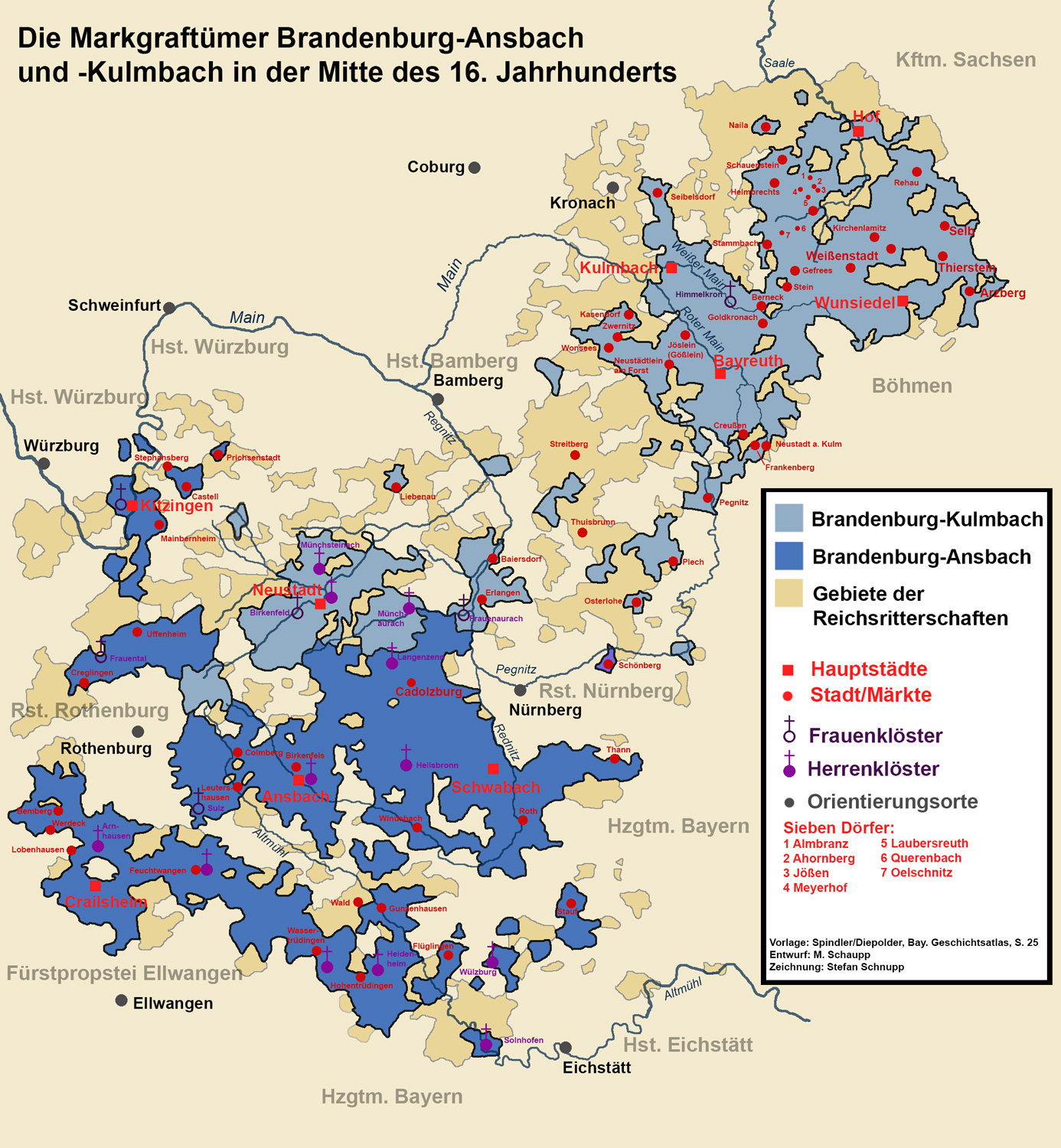
 Germany has the highest density of locations in the world, as we wanted to portray the historical fragmentation of the HRE at the most detailed level of any Paradox GSG. There are a couple of things that we are aware of and we want to rework: the location connections (as in some places they are not obvious at all, and we want to make warfare in the HRE not impossible); and the transition between the German locations and those at their east, making it smoother (something that we will be doing in the review of Poland, Hungary and this region [e.g. for Bohemia]). A final comment: if you click on the spoiler button, you may be able to see 4 more detailed maps of the region.
Provinces:

Map of provinces. As usual, suggestions are welcomed.
Areas:

Areas. We are currently not happy with the area borders (or at least, one of our German content designers isn't, and let me note it while preparing the DD...") ), as they reflect more modern areas so we will be looking into an alternative setup for them with your feedback. They also currently use their German names, which will change to English ones to be in line with other areas, as usual.
), as they reflect more modern areas so we will be looking into an alternative setup for them with your feedback. They also currently use their German names, which will change to English ones to be in line with other areas, as usual.
Terrain:


Terrain mapmodes. The region is quite forested, in comparison to other parts of Europe.
Culture:

Let’s open the Pandora box and take a look at the cultures! The German cultures have come through a couple of reworks, until we’ve found a spot in which we’re kind of happy (or, at least, our German content designers do not complain!). The German cultures are very linguistically related, as we thought that it would be the best starting point for 1337. Please let us know about your thoughts on them.
Religion:

Boring religion map this week, as the region is overwhelmingly Catholic. There are Ashkenazi Jews in a bunch of places (a quick account: they’re present in 204 locations all over Central and Eastern Europe), and you may also see the Waldesians we added in the review of Italy last week.
Raw Materials:

Raw materials! Plenty of!
Markets:

The main market centers of the region are Cologne, Lúbeck, and Prague. We have reviewed them a couple of times, and this is the configuration that makes for a good setup historical and gameplay-wise. And you may also see Bruges, which has been reinstated as the main market of the Low Countries, after some tweaks.
Country and Location Population:


 The population of the HRE is… Fragmented. In that regard, Bohemia starts in a very strong position, with a strong competitor to its south (Austria) and north (Brandenburg).
And that’s it for today! I hope that we didn’t drive you into madness with this map… Next week we will take to a very different region, the Maghreb! See you then!
Let’s start diving deep into this nightmare, then…
Countries:
I’m showing here a bit more of what the region is, so you can have a clear depiction of how it looks compared to the neighboring regions we’ve previously shown (and so that the Reddit guy who is patchworking the world map has an easier day ). What I can say about this when the map speaks for itself… The lands of Germany are highly fractured among different principalities, making for an extremely complex political situation. The Emperor in 1337 was Louis IV von Wittelsbach of Upper Bavaria… Because, yes, Bavaria is also divided. He is married to Margaret of Avesnes, daughter of Count William of Hainaut, Holland, and Zeleand, while his son Louis is the Margrave of Brandenburg. But probably the strongest power of the period is the Kingdom of Bohemia, whose king John also Duke Luxembourg and rules over both lands in a personal union, while also being overlord of the Margraviate of Moravia, ruler by his son Charles, and the Silesian principalities. The third contender probably is the Duchy of Austria, ruled by Albert II von Habsburg. He also rules over some lands in the formed Duchies of Swabia and Carinthia. There are also plenty of medium and small countries all over the region, with very different forms of government, which will probably make this HRE a very replayable experience…
Dynasties:
The dynastical map of the HRE gives a nice picture of the situation explained in the previous one. The von Wittelsbach, de Luxembourg (John of Bohemia is considered of French culture, therefore it uses the French toponymic article ‘de’; if he would change to the German culture, then it would be the ‘von Luxembourg’ dynasty), and von Habsburg cover much of the map; you may note that the Wittelsbach rule over five different countries (Upper Bavaria, Lower Bavaria, the Palatinate of the Rhine, and Brandenburg); while the House of Luxembourg also control the Archbishopric of Trier through Balduin, uncle of King John. Other important dynasties, although in a secondary position, are the Welfen, von Mecklenburg, and Gryf, present in multiple countries to the north; the Askanier, who happen to control half of Upper Saxony, while the rest is in the hands of the von Wettin; and the von Görz, who rule over the Duchy of Tirol and the County of Gorizia.
HRE:
We obviously have to repost the HRE IO map again here. The purple stripes mark the imperial territory, while the different types of members use different colors. We currently have these divisions in the IO: the Emperor (1, dark blue), Prince-Electors (4, light blue), Archbishop-Electors (3, medium blue), Free Imperial Cities (23, light green), Imperial Peasant Republics (2, orange), Imperial Prelates (44, white), and Regular Members (280, dark green). So, yeah, that make for a total of 357 countries that are part of the HRE. And before you ask: No, we won’t talk about its mechanics today, that will happen in future Tinto Talks.
Locations:
Provinces:
Map of provinces. As usual, suggestions are welcomed.
Areas:
Areas. We are currently not happy with the area borders (or at least, one of our German content designers isn't, and let me note it while preparing the DD...
), as they reflect more modern areas so we will be looking into an alternative setup for them with your feedback. They also currently use their German names, which will change to English ones to be in line with other areas, as usual.Terrain:
Terrain mapmodes. The region is quite forested, in comparison to other parts of Europe.
Culture:
Let’s open the Pandora box and take a look at the cultures! The German cultures have come through a couple of reworks, until we’ve found a spot in which we’re kind of happy (or, at least, our German content designers do not complain!). The German cultures are very linguistically related, as we thought that it would be the best starting point for 1337. Please let us know about your thoughts on them.
Religion:
Boring religion map this week, as the region is overwhelmingly Catholic. There are Ashkenazi Jews in a bunch of places (a quick account: they’re present in 204 locations all over Central and Eastern Europe), and you may also see the Waldesians we added in the review of Italy last week.
Raw Materials:
Raw materials! Plenty of!
Markets:
The main market centers of the region are Cologne, Lúbeck, and Prague. We have reviewed them a couple of times, and this is the configuration that makes for a good setup historical and gameplay-wise. And you may also see Bruges, which has been reinstated as the main market of the Low Countries, after some tweaks.
Country and Location Population:
And that’s it for today! I hope that we didn’t drive you into madness with this map… Next week we will take to a very different region, the Maghreb! See you then!