As other commenters said, several societies in Polynesia and Micronesia could easily be classified as State Societies. I also believe that some societies in Melanesia (the region I will focus on the most in this post) should be made into SOP’s.
Polynesia
Marshall Sahlins in
Social Stratification of Polynesia (1958) arranged Polynesian precolonial societies in four levels of social stratification, the first level roughly equating to State societies or large chiefdoms on a verge of becoming state societies. Societies included in that category were: Hawaii, Tonga, Samoa and Tahiti. Societies included in his second category of social stratification (roughly corresponding to bigger chiefdoms) were Mangareva, Mangaia, Rapa Nui and Uvea, while third category (smaller chiefdoms) included societies of the Marquesas Islands, Tikopia and Futuna, with the fourth category being the autonomous villages (societies of Pukapuka, Ontong Java and Tokelau). Sahlins also made a clear distinction between chiefdoms of Polynesia and tribal societies of Melanesia, led by so called “Big Men”. Sahlin’s view is nowadays rather outdated, especially as we now know that a lot of societies in Melanesia don’t fit that dichotomy (more on that below), but his division of Polynesian societies can form a basis for consideration for distinction between States, SOP’s and non-tag cultures in Polynesia in the game.
In my opinion all of the aforementioned first level societies, except Tahiti, should be made into State Societies. The reasons why were explained well in this post by YashaCarry :
Well thank you for being open to revisions, because I have a lot to say.
First of all, let me start off by saying I mean no ill-intent to you all. I just have gripes that ought to be addressed, beginning with playable nations
But going off of your list, we have three classifications for societies, and this will help me determine what is what.
Now, I'll begin by listing every nation that I believe could content for centralization and this is a long one.
Tonga:
Samoa:
Hawaiian Aliʻi:
Rapa Nui and Mangareva:
Pohnpei and Kosrae:
Kaimana/Sran:
With that, that covers the nations that I ought to think should be centralized at game start. I'll cover culture and religion, locations and provinces, and some other things later on, but I do hope you'll take this all into consideration.
- Yasha
As for
Tahiti, the island only became a State Society in late 18 century, when it was united by chief Pomare. Before that, in my opinion it should be a SOP. In the current proposed setup however, Tahiti is not represented on as a SOP, which is a mistake.
This map may be useful for setup of Hawaiian archipelago:
As YashaCarry wrote,
Mangareva and
Rapa Nui could also be considered State Societies at start date, or should have a relatively easy path to becoming one during the game.
As for other Polynesian chiefdoms mentioned by Sahlins:
Mangaia (an island in modern Cook Islands, location of the earliest recorded sweet potato cultivation in Polynesia; society characterised by a violent struggle between war-leaders),
ʻUvea (Wallis Island in the modern Wallis and Futuna, a vassal of Tui Tonga, unified kingdom started there c. 15 century) and
Futuna (in modern Wallis and Futuna; in late pre-colonial and colonial times divided into two kingdoms: Sigave and Alo, who presided over lesser chiefs) could be made into SOP’s, if the islands aren’t too small to be separate locations.
Cultures of Marquesas islands should probably remain as non-tag cultures. Tikopia, while being a very interesting culture as a Polynesian outlier in Melanesia, is too small an island to be a separate location in the game.
To summarise, I believe that chiefdoms of Hawaii, Tonga, Samoa, and arguably Mangareva and Rapa Nui should be State Societies, while Tahiti, Mangaia, ʻUvea and Futuna should be made into SOP’s.
By the way, just an idea, to spice up the gameplay in the region, the
https://en.wikipedia.org/wiki/Arioi religious order could potentially be made into a building based country on the island of Raʻiātea.
Micronesia
As have been said before in this thread a couple of times,
Pohnpei had a highly stratified society, with a traditional oral history speaking of Saudeleur dynasty ruling the island during the game’s timeframe from its ceremonial and political seat in the now-famous archaeological site of Nan Madol. In my opinion Pohnpei should be a State Society at start date.
Kosrae also had a highly stratified society, ruled by and aristocratic ruling class from Leluh, a center similar to Nan Madol. In my opinion, it also should be a State Society.
Yap is a less obvious case. Yapese pre-colonial society is the most famous for the large Rai stone money, used in local economy. Those stones were mined in Palau, and transport of them was part of a long distance communication network, sometimes called “Yapese Empire”. Islands between Yap and Chuuk were obliged to send tribute to Yap. Yapese society was based on complex caste system. Yet, island of Yap wasn’t as politically unified as Kosrae or Pohnpei. In my opinion, Yap should be a SOP, but could be argued to be also made into a State Society.
Chamorro people of Guam island – although they lacked common political authority, I think they meet the requirements for a SOP: they had a high degree of social stratification, including the high ranking nobles and chiefs. The highest level of integration was the district, which was composed of one or more neighbouring villages, led by the district chief (
maga-lahe), the hereditary highest-ranking male relative within the clan. They lived in permanent settlements and subsisted primarily on fish, aroids, yams, breadfruit, and coconuts. Rice was also grown on Guam (the only place in Oceania). Pre-contact Chamorro population is estimated to be about 50.000 people. After the Spanish colonisation of Guam and the Northern Marianas, the Chamorros resisted, fighting so called Spanish–Chamorro Wars (1670-1699). In my opinion, despite the fact, that the island of Guam was not politically unified, the level of sophistication of Chamorro society is enough to consider them for the SOP status in the game.
Melanesia
In more recent scholarship prevails a point of view that there was a large variety of sociopolitical organisations among the Melanesian societies, and although so-called Big-Men societies were most common, especially in the Western Melanesia (island of New Guinea etc.), there was also quite a few stratified chiefdoms, especially among peoples speaking Austronesian languages or influenced by them. It is also pointed out, that some societies that were described by XIX and XX century anthropologists as led having a ”Big-Men” system (non-hereditary leadership, based on individual prestige and influence) were in fact stratified and hierarchical in the past, but the hierarchical system was replaced as a result of massive societal and political disruption after European contact during the first half of the twentieth century.
Nonetheless, I believe none of the Melanesian societies were complex enough to be represented as State Societies in the game (maybe with the exception of Kaimana and Raja Ampat, which were influenced by Indonesians, but I’m not knowledgeable enough about that, and other commenters in this thread wrote more extensively about those polities).
However, at least few of them could be potential candidates for the status of SOP’s. First of all, I want to second what was already written by others in this thread about the West Papuan chiefdoms of Kaimana and Raja Ampat and also about Torres Strait Islanders.
Apart from Fiji, which is included on the map as a collection of SOP’s, these are some examples of Melanesian societies, that are in my opinion complex (and interesting) enough to be made into SOPs:
- Roviana – a chiefdom of notorious head-hunters from island of New Georgia in the Solomon Islands, raided and traded far and wide - often in the islands of Choiseul, Isabel, Russell, Malaita and western Guadalcanal. A large complex of megalithic shrines and other structures was developed by them in the 13th century. Headhunting raids stopped abruptly in early XX century with colonial intervention and Christianisation of Solomon Islands.
- Efate – the island (or large part of it) was probably united by a chief called Roy Mata (who probably had Polynesian ancestry), remembered by oral tradition, whose elaborate (and rather gruesome) gravesite in Vanuatu, discovered in 1967 by French archaeologist, is a UNESCO World Heritage Site. We don’t really know when the chief lived (I’ve seen estimates from XIII to XVI centuries on the Internet), so he could potentially be made the leader of the island at game start.
- Kiriwina - the largest of the Trobriand Islands in eastern Papua New Guinea, famously studied by Polish anthropologist Bronisław Malinowski. Trobrianders participated in the famous Kula trade with other societies of the Milne Bay. Unusually for this region, they had paramount chiefs.
- Kanak chiefdoms of New Caledonia and it’s dependencies (Loyalty Islands and Isle of Pines) – those societies have been long considered main example of stratified, chiefly society in Melanesia, apart from Fiji. “In New Caledonia, leaders of local kin groups were, in theory, the eldest males directly descended from the extended family’s founding couple. Several such groups joined to from clans, each with a chief who was theoretically the eldest male of the oldest king group and was the symbolic father of the clan. Clans were further grouped into territorial alliances or tribes, with the most powerful clan chief becoming the tribal chief. Succession normally though not invariably went to the clan and tribal chiefs’ eldest sons” (K.R. Howe “Where The Waves Fall, A New South Sea Islands History from First Settlement to Colonial Rule”, 1984). That’s why I believe some, if not all, New Caledonian Kanak chiefdoms should be included as SOPs, for example the largest ones: Paici, Ajie, Xaracuu, Lifou, Ouvea.
- Aneityum (Anatom) – an island in southern Vanuatu, an example of drastic loss of population after contact with Europeans, due to disease and “black-birding” (kidnapping to work as slaves or poorly paid labourers, unfortunately pretty common in colonial Oceania). Its population is believed to have been between 9,000 and 20,000 prior to the arrival of the Europeans, nowadays about 900 people live there. The island was divided into several chiefdom, with chiefs having some political, but also priestly authority.
- Tanna – also an island in southern Vanuatu, with villages led by hereditary chiefs. Today, Tanna is unusual in that it stuck to its traditions more strongly than other islands of Vanuatu, with some villages still governed traditionally, according to Kastom (traditional law).
- Motu – perhaps a bit less convincing argument can be made for including the Austronesian-speaking Motu people of Papua-New Guinea as a SOP. They live on the southern coast of Papuan Peninsula, where today the capital city of Papua New Guinea, Port Moresby is located. It’s not clear whether they really pass the requirement of possessing chiefdomly authority. They had some kind of village chiefs in late XIX and XX century, but those didn’t have any strong authority before Australian colonial powers gave them more tasks. Nevertheless, Western Motu in XIX century, when they were described by anthropologists, had permanent alliance between their villages against other tribes, based on solidarity grounded in perceived common ancestry and common language. More importantly, they organized and participated in so called Hiri trade cycle, which was large scale maritime trade with distant peoples across the Papuan Gulf, which necessitated some really large scale trade expeditions, unusual for a society of that type. The Motu mostly traded away their pottery, production of which was an unusual skill in early modern Melanesia. It is estimated that the Hiri trade started 300-500 years ago, although pottery was traded in the region much earlier already (B. David, K. Aplin, T. Richards Archaeological Research at Caution Bay, Papua New Guinea. Cultural, Linguistic and Environmental Setting. 2016) Later, during colonial times Motu Hiri language, based on the Motu language, became a lingua franca in the early colonial New Guinea. If they would be included as a SOP, Motu should be placed in the Koiali location on the map.
- Marind (or Marind-anim) - this is a bit of a controversial choice, as it’s a Papuan people without a typical chiefdomly authority or an all-encompassing political organization. However, unusually for Papuans, they supposedly had a sense of solidarity, or belonging to a larger group, not typically found in Papuan linguistic groups, in which solidarity is normally only to one’s village and its allies. Main source of that solidarity were great religious cults that most sub-tribes of the Marind-anim people belonged to. For example, the "Imo" cult followed by a number of inland subtribes and a few communities on the coast, acknowledged a central leadership that was settled on the coast. (https://www.everyculture.com/Oceania/Marind-anim-Sociopolitical-Organization.html) In the past, the Marind were famous for their headhunting, which was always aimed at other tribes. The Marind are also notable for their sexual culture, including their form of ritualized homosexuality. This proposition is less strong then those mentioned earlier, but still could be considered for a SOP. (The Marind live in swamplands of southern part of Indonesian Wes Papua, near the Papua New Guinea border).


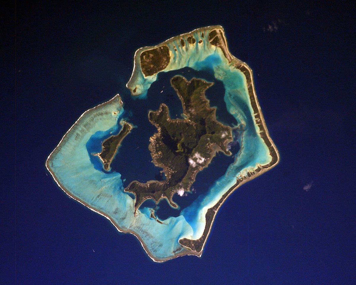
 Plenty of different maps today, to be able to show as many different regions as possible. This is very highly WIP, and some of the islands may end up dying because of their size and being unimportant. By the way, you may notice that some of the islands are weirdly rounded up - that’s because they have a different type of terrain, ‘Atoll’, which is the last one that we were able to add to the game in due time during the development process.


 Resources are, in general terms, quite basic, food-oriented ones; although Australia is more varied, obviously, and there are some areas very rich in Pearls.